Necochea geodata
Necochea (Buenos Aires) is a seat of a second-order administrative division; located in Argentina in America/Argentina/Buenos_Aires (GMT-3) time zone. With population of 80,478 people, there are 54 cities with bigger population in this country. Compared to other cities in Argentina, 89.9% of cities are located further ↑North; 79.8% of cities are located further ←West and 94.7% of cities have higher elevation than Necochea. Note1


Necochea GPS coordinates[2]
38° 33' 16.2" South, 58° 44' 22.596" West
| Map corner | latitude | longitude |
|---|---|---|
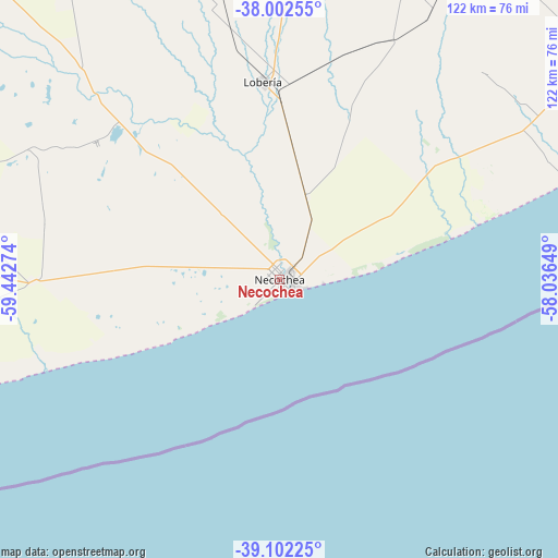
| Upper-left | -38.00255°, | -59.44274° |
| Center: | -38.5545°, | -58.73961° |
| Lower-right: | -39.10225°, | -58.03649° |
| Map W x H: | 122.3×122.3 km | = 76×76mi |
| max Lat: | -21.94467° ⇑89.9% North |
| Necochea: | -38.5545° |
| min Lat: | ⇓10.1% South -54.81084° |
| min Long | Necochea | max Long |
| -72.88605° | -58.73961° | -53.64581° |
| W 79.8%⇐ | ⇒20.2% E |
Elevation
Elevation of Necochea is 19 m = 62 ft, and this is 330.3 m = 1084 ft below average elevation for this country.
| Max E: |
4040 m = 13255 ft | 94.7% |
| Avg. | 349.3 m = 1146 ft | |
| Necochea | 19 m = 62 ft | |
Min E: |
-2 m = -7 ft | 5.3% |
See also: Necochea elevation on elevation.city.
Geographical zone
Necochea is located in South temperate zone (between Tropic of Capricorn and the Antarctic Circle). Distance of this Southern Tropic circle is 1680.9 km =1044.5 mi to North.| Distance of | km | miles | from Necochea |
|---|---|---|---|
| Equator | 4286.9 | 2663.8 | to North |
| Tropic Capricorn | 1680.9 | 1044.5 | to North |
| Antarctic Circle | 3114.3 | 1935.1 | to South |
| South Pole | 5720.2 | 3554.4 | to South |


Nearby cities:
15 places around Necochea: (largest is in red/bold)
• Ayacucho
157.5 km =97.9 mi,  8°
8°
• Balcarce
89.4 km =55.6 mi,  28°
28°
• Benito Juárez
135.4 km =84.1 mi,  316°
316°
• Coronel Vidal
151.8 km =94.3 mi,  35°
35°
• Laprida
212.5 km =132 mi,  301°
301°
• Lobería
44.6 km =27.7 mi,  354°
354°
• Maipú
202.7 km =126 mi,  21°
21°
• Mar de las Pampas
203.4 km =126.4 mi,  47°
47°
• Mar del Plata
120.3 km =74.8 mi,  59°
59°
• Miramar
84.5 km =52.5 mi,  68°
68°
• Rauch
200.3 km =124.5 mi, 351°
• San Cayetano
79.2 km =49.2 mi,  286°
286°
• Tandil
141.4 km =87.9 mi, 345°
• Tres Arroyos
135.6 km =84.3 mi,  278°
278°
• Villa Gesell
211.2 km =131.2 mi, 47°
Sources, notices
• [Note1] Compared only with cities in Argentina existing in our database
• [Src1] Map data: © OpenStreetMap contributors (CC-BY-SA)
• [Src2] Other city data from geonames.org with taken over terms of usage.
• [Src3] Geographical zone / Annual Mean Temperature by Robert A. Rohde @ Wikipedia
