Laboulaye geodata
Laboulaye (Cordoba) is a seat of a second-order administrative division; located in Argentina in America/Argentina/Cordoba (GMT-3) time zone. With population of 19,908 people, there are 185 cities with bigger population in this country. Compared to other cities in Argentina, 69.2% of cities are located further ↑North; 54.4% of cities are located further →East and 50.3% of cities have higher elevation than Laboulaye. Note1


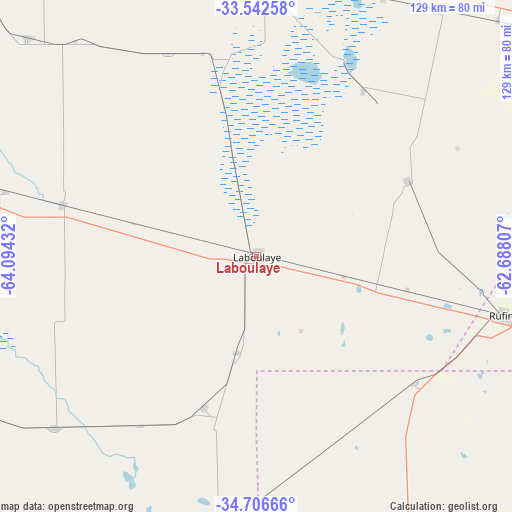
Laboulaye GPS coordinates[2]
34° 7' 35.832" South, 63° 23' 28.284" West
| Map corner | latitude | longitude |
|---|---|---|
| Upper-left | -33.54258°, | -64.09432° |
| Center: | -34.12662°, | -63.39119° |
| Lower-right: | -34.70666°, | -62.68807° |
| Map W x H: | 129.4×129.4 km | = 80.4×80.4mi |
| max Lat: | -21.94467° ⇑69.2% North |
| Laboulaye: | -34.12662° |
| min Lat: | ⇓30.8% South -54.81084° |
| min Long | Laboulaye | max Long |
| -72.88605° | -63.39119° | -53.64581° |
| W 45.6%⇐ | ⇒54.4% E |
Elevation
Elevation of Laboulaye is 143 m = 469 ft, and this is 206.3 m = 677 ft below average elevation for this country.
| Max E: |
4040 m = 13255 ft | 50.3% |
| Avg. | 349.3 m = 1146 ft | |
| Laboulaye | 143 m = 469 ft | |
Min E: |
-2 m = -7 ft | 49.7% |
See also: Argentina elevation on elevation.city.
Geographical zone
Laboulaye is located in South temperate zone (between Tropic of Capricorn and the Antarctic Circle). Distance of this Southern Tropic circle is 1188.6 km =738.6 mi to North.| Distance of | km | miles | from Laboulaye |
|---|---|---|---|
| Equator | 3794.5 | 2357.8 | to North |
| Tropic Capricorn | 1188.6 | 738.6 | to North |
| Antarctic Circle | 3606.6 | 2241 | to South |
| South Pole | 6212.5 | 3860.3 | to South |


Nearby cities:
15 places around Laboulaye: (largest is in red/bold)
• Adelia María
80.1 km =49.8 mi,  313°
313°
• Alejandro Roca
91.1 km =56.6 mi,  340°
340°
• Alejo Ledesma
91.5 km =56.9 mi,  50°
50°
• Buchardo
67.1 km =41.7 mi,  189°
189°
• Canals
77.7 km =48.3 mi,  36°
36°
• General Levalle
50.6 km =31.4 mi,  284°
284°
• Huanchillas
56 km =34.8 mi, 336°
• Italó
82.2 km =51.1 mi,  205°
205°
• La Carlota
79.1 km =49.2 mi,  6°
6°
• La Cesira
43.2 km =26.8 mi,  63°
63°
• Mattaldi
81.9 km =50.9 mi,  241°
241°
• Rufino
64.4 km =40 mi,  104°
104°
• Santa Magdalena
66.9 km =41.6 mi,  229°
229°
• Serrano
40.5 km =25.2 mi,  199°
199°
• Viamonte
50.2 km =31.2 mi,  32°
32°
Sources, notices
• [Note1] Compared only with cities in Argentina existing in our database
• [Src1] Map data: © OpenStreetMap contributors (CC-BY-SA)
• [Src2] Other city data from geonames.org with taken over terms of usage.
• [Src3] Geographical zone / Annual Mean Temperature by Robert A. Rohde @ Wikipedia
