Morteros geodata
Morteros (Cordoba) is a populated place; located in Argentina in America/Argentina/Cordoba (GMT-3) time zone. With population of 15,129 people, there are 223 cities with bigger population in this country. Compared to other cities in Argentina, 62.1% of cities are located further ↓South; 55.2% of cities are located further ←West and 62.8% of cities have higher elevation than Morteros. Note1


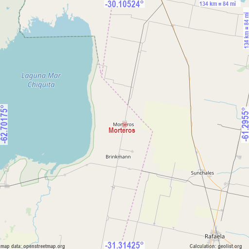
Morteros GPS coordinates[2]
30° 42' 41.904" South, 61° 59' 55.032" West
| Map corner | latitude | longitude |
|---|---|---|
| Upper-left | -30.10524°, | -62.70175° |
| Center: | -30.71164°, | -61.99862° |
| Lower-right: | -31.31425°, | -61.2955° |
| Map W x H: | 134.4×134.4 km | = 83.5×83.5mi |
| max Lat: | -21.94467° ⇑37.9% North |
| Morteros: | -30.71164° |
| min Lat: | ⇓62.1% South -54.81084° |
| min Long | Morteros | max Long |
| -72.88605° | -61.99862° | -53.64581° |
| W 55.2%⇐ | ⇒44.8% E |
Elevation
Elevation of Morteros is 99 m = 325 ft, and this is 250.3 m = 821 ft below average elevation for this country.
| Max E: |
4040 m = 13255 ft | 62.8% |
| Avg. | 349.3 m = 1146 ft | |
| Morteros | 99 m = 325 ft | |
Min E: |
-2 m = -7 ft | 37.2% |
See also: Argentina elevation on elevation.city.
Geographical zone
Morteros is located in South temperate zone (between Tropic of Capricorn and the Antarctic Circle). Distance of this Southern Tropic circle is 808.9 km =502.6 mi to North.| Distance of | km | miles | from Morteros |
|---|---|---|---|
| Equator | 3414.8 | 2121.9 | to North |
| Tropic Capricorn | 808.9 | 502.6 | to North |
| Antarctic Circle | 3986.4 | 2477 | to South |
| South Pole | 6592.2 | 4096.2 | to South |


Nearby cities:
15 places around Morteros: (largest is in red/bold)
• Altos de Chipión
42.2 km =26.2 mi,  229°
229°
• Arrufó
59.2 km =36.8 mi,  25°
25°
• Balnearia
71.9 km =44.7 mi,  242°
242°
• Bella Italia
84.6 km =52.6 mi,  138°
138°
• Brinkmann
17.5 km =10.9 mi,  192°
192°
• Devoto
82.4 km =51.2 mi,  200°
200°
• Hersilia
80.1 km =49.8 mi,  10°
10°
• Marull
85 km =52.8 mi,  248°
248°
• Miramar
68.8 km =42.8 mi, 250°
• Porteña
34.2 km =21.3 mi, 190°
• Rafaela
77.3 km =48 mi, 140°
• San Cristóbal
85.5 km =53.1 mi,  58°
58°
• San Francisco
80 km =49.7 mi, 185°
• Sunchales
49.1 km =30.5 mi,  121°
121°
• Villa Trinidad
56.6 km =35.2 mi, 11°
Sources, notices
• [Note1] Compared only with cities in Argentina existing in our database
• [Src1] Map data: © OpenStreetMap contributors (CC-BY-SA)
• [Src2] Other city data from geonames.org with taken over terms of usage.
• [Src3] Geographical zone / Annual Mean Temperature by Robert A. Rohde @ Wikipedia
