Zederhaus geodata
Zederhaus (Salzburg) is a seat of a third-order administrative division; located in Austria in Europe/Vienna (GMT+2) time zone. With population of 583 people, there are 2196 cities with bigger population in this country. Compared to other cities in Austria, 75.2% of cities are located further ↑North; 74.7% of cities are located further →East and 98.3% of cities have lower elevation than Zederhaus. Note1
Administrative division(s):
- Level 1: Salzburg
- Level 2: Politischer Bezirk Tamsweg
- Level 3: Zederhaus


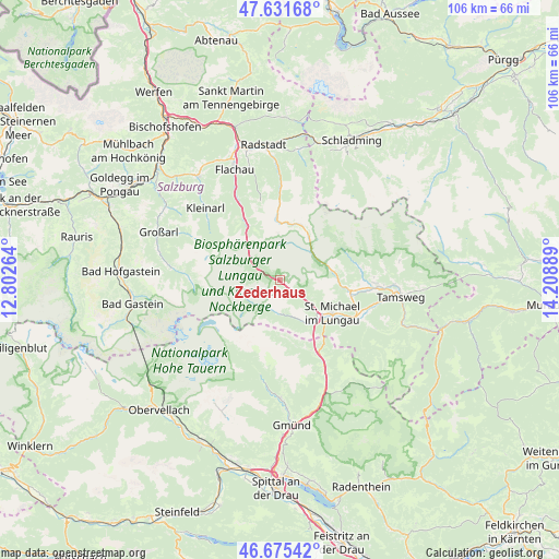
Zederhaus GPS coordinates[2]
47° 9' 20.52" North, 13° 30' 20.736" East
| Map corner | latitude | longitude |
|---|---|---|
| Upper-left | 47.63168°, | 12.80264° |
| Center: | 47.1557°, | 13.50576° |
| Lower-right: | 46.67542°, | 14.20889° |
| Map W x H: | 106.3×106.3 km | = 66.1×66.1mi |
| max Lat: | 48.98333° ⇑75.2% North |
| Zederhaus: | 47.1557° |
| min Lat: | ⇓24.8% South 46.48841° |
| min Long | Zederhaus | max Long |
| 9.57802° | 13.50576° | 17.1° |
| W 25.3%⇐ | ⇒74.7% E |
Elevation
Elevation of Zederhaus is 1230 m = 4035 ft, and this is 724.5 m = 2377 ft above average elevation for this country.
| Max E: |
2140 m = 7021 ft | 1.7% |
| Zederhaus | 1230 m 4035 ft | |
| Avg. | 505.5 m = 1658 ft | |
Min E: |
118 m = 387 ft | 98.3% |
See also: Austria elevation on elevation.city.
Geographical zone
Zederhaus is located in North temperate zone (between Tropic of Cancer and the Arctic Circle). Distance of this North polar circle is 2158 km =1340.9 mi to North.| Distance of | km | miles | from Zederhaus |
|---|---|---|---|
| North Pole | 4763.8 | 2960.1 | to North |
| Arctic Circle | 2158 | 1340.9 | to North |
| Tropic Cancer | 2637.3 | 1638.7 | to South |
| Equator | 5243.2 | 3258 | to South |


Nearby cities:
15 places around Zederhaus: (largest is in red/bold)
• Hüttschlag
20.8 km =12.9 mi,  276°
276°
• Kleinarl
19.5 km =12.1 mi,  313°
313°
• Mariapfarr
18.5 km =11.5 mi,  91°
91°
• Mauterndorf
13.3 km =8.3 mi,  100°
100°
• Muhr
6.3 km =3.9 mi,  185°
185°
• Mörtelsdorf
21.6 km =13.4 mi, 97°
• Rennweg am Katschberg
17.6 km =10.9 mi,  151°
151°
• Sankt Andrä im Lungau
21 km =13 mi, 91°
• Sankt Margarethen im Lungau
16.7 km =10.4 mi,  120°
120°
• Sankt Martin
12.5 km =7.8 mi, 119°
• Sankt Michael im Lungau
11.5 km =7.1 mi, 122°
• Thomatal
21 km =13 mi, 118°
• Tweng
7.8 km =4.8 mi,  66°
66°
• Unternberg
18.5 km =11.5 mi, 104°
• Untertauern
16.1 km =10 mi,  358°
358°
Sources, notices
• [Note1] Compared only with cities in Austria existing in our database
• [Src1] Map data: © OpenStreetMap contributors (CC-BY-SA)
• [Src2] Other city data from geonames.org with taken over terms of usage.
• [Src3] Geographical zone / Annual Mean Temperature by Robert A. Rohde @ Wikipedia
