Sollenau geodata
Sollenau (Lower Austria) is a seat of a third-order administrative division; located in Austria in Europe/Vienna (GMT+2) time zone. With population of 5,038 people, there are 190 cities with bigger population in this country. Compared to other cities in Austria, 61% of cities are located further ↓South; 87.3% of cities are located further ←West and 82.7% of cities have higher elevation than Sollenau. Note1
Administrative division(s):
- Level 1: Lower Austria
- Level 2: Politischer Bezirk Wiener Neustadt
- Level 3: Sollenau


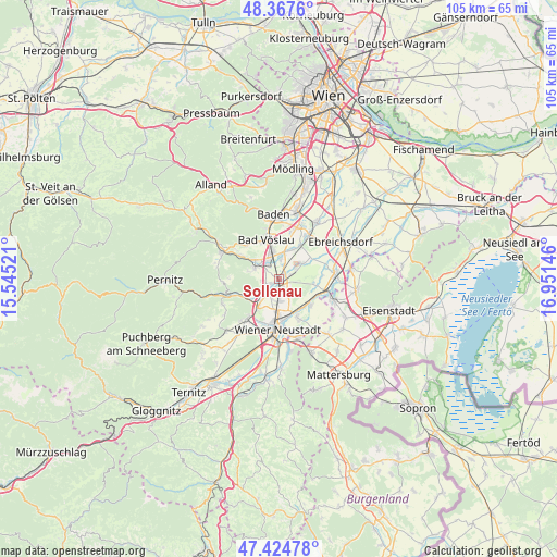
Sollenau GPS coordinates[2]
47° 53' 54.024" North, 16° 14' 53.988" East
| Map corner | latitude | longitude |
|---|---|---|
| Upper-left | 48.3676°, | 15.54521° |
| Center: | 47.89834°, | 16.24833° |
| Lower-right: | 47.42478°, | 16.95146° |
| Map W x H: | 104.8×104.8 km | = 65.1×65.1mi |
| max Lat: | 48.98333° ⇑39% North |
| Sollenau: | 47.89834° |
| min Lat: | ⇓61% South 46.48841° |
| min Long | Sollenau | max Long |
| 9.57802° | 16.24833° | 17.1° |
| W 87.3%⇐ | ⇒12.7% E |
Elevation
Elevation of Sollenau is 261 m = 856 ft, and this is 244.5 m = 802 ft below average elevation for this country.
| Max E: |
2140 m = 7021 ft | 82.7% |
| Avg. | 505.5 m = 1658 ft | |
| Sollenau | 261 m = 856 ft | |
Min E: |
118 m = 387 ft | 17.3% |
See also: Austria elevation on elevation.city.
Geographical zone
Sollenau is located in North temperate zone (between Tropic of Cancer and the Arctic Circle). Distance of this North polar circle is 2075.4 km =1289.6 mi to North.| Distance of | km | miles | from Sollenau |
|---|---|---|---|
| North Pole | 4681.3 | 2908.8 | to North |
| Arctic Circle | 2075.4 | 1289.6 | to North |
| Tropic Cancer | 2719.9 | 1690.1 | to South |
| Equator | 5325.8 | 3309.3 | to South |


Nearby cities:
15 places around Sollenau: (largest is in red/bold)
• Eggendorf
7.1 km =4.4 mi,  129°
129°
• Felixdorf
1.9 km =1.2 mi,  194°
194°
• Günselsdorf
5.2 km =3.2 mi,  10°
10°
• Haschendorf
7.1 km =4.4 mi,  99°
99°
• Hirtenberg
6.3 km =3.9 mi,  305°
305°
• Kottingbrunn
6.1 km =3.8 mi,  344°
344°
• Leobersdorf
4.1 km =2.5 mi,  324°
324°
• Matzendorf
2.7 km =1.7 mi,  253°
253°
• Schönau an der Triesting
4 km =2.5 mi, 5°
• Siebenhaus
4.3 km =2.7 mi, 340°
• Steinabrückl
4.6 km =2.9 mi,  227°
227°
• Tattendorf
6.9 km =4.3 mi,  33°
33°
• Teesdorf
6.3 km =3.9 mi,  24°
24°
• Theresienfeld
5.5 km =3.4 mi, 191°
• Wöllersdorf
6.8 km =4.2 mi,  237°
237°
Sources, notices
• [Note1] Compared only with cities in Austria existing in our database
• [Src1] Map data: © OpenStreetMap contributors (CC-BY-SA)
• [Src2] Other city data from geonames.org with taken over terms of usage.
• [Src3] Geographical zone / Annual Mean Temperature by Robert A. Rohde @ Wikipedia
