Niederland geodata
Niederland (Salzburg) is a populated place; located in Austria in Europe/Vienna (GMT+2) time zone. With population of 888 people, there are 1453 cities with bigger population in this country. Compared to other cities in Austria, 52.4% of cities are located further ↓South; 85.1% of cities are located further →East and 88.3% of cities have lower elevation than Niederland. Note1
Administrative division(s):
- Level 1: Salzburg
- Level 2: Politischer Bezirk Zell am See
- Level 3: Unken


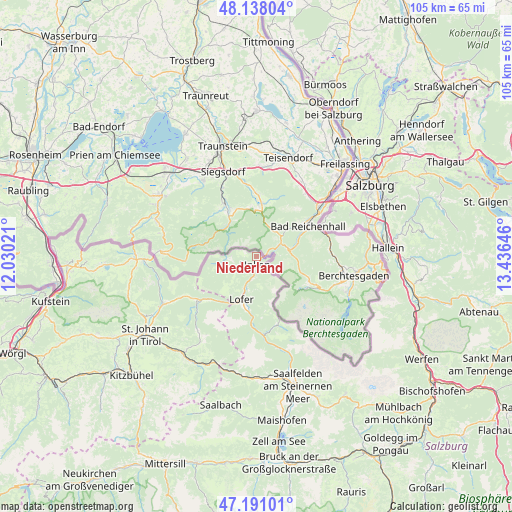
Niederland GPS coordinates[2]
47° 40' 0.012" North, 12° 43' 59.988" East
| Map corner | latitude | longitude |
|---|---|---|
| Upper-left | 48.13804°, | 12.03021° |
| Center: | 47.66667°, | 12.73333° |
| Lower-right: | 47.19101°, | 13.43646° |
| Map W x H: | 105.3×105.3 km | = 65.4×65.4mi |
| max Lat: | 48.98333° ⇑47.6% North |
| Niederland: | 47.66667° |
| min Lat: | ⇓52.4% South 46.48841° |
| min Long | Niederland | max Long |
| 9.57802° | 12.73333° | 17.1° |
| W 14.9%⇐ | ⇒85.1% E |
Elevation
Elevation of Niederland is 849 m = 2785 ft, and this is 343.5 m = 1127 ft above average elevation for this country.
| Max E: |
2140 m = 7021 ft | 11.7% |
| Niederland | 849 m 2785 ft | |
| Avg. | 505.5 m = 1658 ft | |
Min E: |
118 m = 387 ft | 88.3% |
See also: Austria elevation on elevation.city.
Geographical zone
Niederland is located in North temperate zone (between Tropic of Cancer and the Arctic Circle). Distance of this North polar circle is 2101.1 km =1305.6 mi to North.| Distance of | km | miles | from Niederland |
|---|---|---|---|
| North Pole | 4707 | 2924.8 | to North |
| Arctic Circle | 2101.1 | 1305.6 | to North |
| Tropic Cancer | 2694.1 | 1674 | to South |
| Equator | 5300 | 3293.3 | to South |


Nearby cities:
15 places around Niederland: (largest is in red/bold)
• Erpfendorf
22 km =13.7 mi,  245°
245°
• Glanegg
22 km =13.7 mi,  65°
65°
• Gois
20.7 km =12.9 mi,  57°
57°
• Grossgmain
14.6 km =9.1 mi, 64°
• Käferheim
20.8 km =12.9 mi,  51°
51°
• Lofer
9.6 km =6 mi,  198°
198°
• Sankt Jakob in Haus
23.1 km =14.4 mi,  216°
216°
• Sankt Martin bei Lofer
11.4 km =7.1 mi,  192°
192°
• Sankt Ulrich am Pillersee
19.6 km =12.2 mi, 217°
• Unken
1.9 km =1.2 mi, 188°
• Viehhausen
22.8 km =14.2 mi, 55°
• Waidring
15.6 km =9.7 mi,  233°
233°
• Wals
21.7 km =13.5 mi, 53°
• Walserberg
20.6 km =12.8 mi, 54°
• Walserfeld
23.1 km =14.4 mi, 52°
Sources, notices
• [Note1] Compared only with cities in Austria existing in our database
• [Src1] Map data: © OpenStreetMap contributors (CC-BY-SA)
• [Src2] Other city data from geonames.org with taken over terms of usage.
• [Src3] Geographical zone / Annual Mean Temperature by Robert A. Rohde @ Wikipedia
