Gasen geodata
Gasen (Styria) is a seat of a third-order administrative division; located in Austria in Europe/Vienna (GMT+2) time zone. With population of 125 people, there are 2912 cities with bigger population in this country. Compared to other cities in Austria, 60.9% of cities are located further ↑North; 67.2% of cities are located further ←West and 91.1% of cities have lower elevation than Gasen. Note1


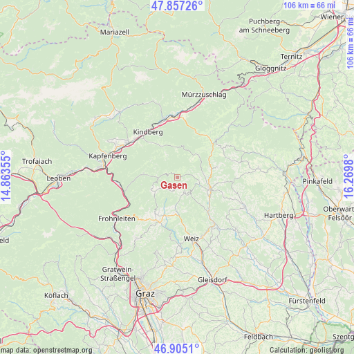
Gasen GPS coordinates[2]
47° 22' 59.988" North, 15° 34' 0.012" East
| Map corner | latitude | longitude |
|---|---|---|
| Upper-left | 47.85726°, | 14.86355° |
| Center: | 47.38333°, | 15.56667° |
| Lower-right: | 46.9051°, | 16.2698° |
| Map W x H: | 105.9×105.9 km | = 65.8×65.8mi |
| max Lat: | 48.98333° ⇑60.9% North |
| Gasen: | 47.38333° |
| min Lat: | ⇓39.1% South 46.48841° |
| min Long | Gasen | max Long |
| 9.57802° | 15.56667° | 17.1° |
| W 67.2%⇐ | ⇒32.8% E |
Elevation
Elevation of Gasen is 904 m = 2966 ft, and this is 398.5 m = 1307 ft above average elevation for this country.
| Max E: |
2140 m = 7021 ft | 8.9% |
| Gasen | 904 m 2966 ft | |
| Avg. | 505.5 m = 1658 ft | |
Min E: |
118 m = 387 ft | 91.1% |
See also: Austria elevation on elevation.city.
Geographical zone
Gasen is located in North temperate zone (between Tropic of Cancer and the Arctic Circle). Distance of this North polar circle is 2132.6 km =1325.1 mi to North.| Distance of | km | miles | from Gasen |
|---|---|---|---|
| North Pole | 4738.5 | 2944.4 | to North |
| Arctic Circle | 2132.6 | 1325.1 | to North |
| Tropic Cancer | 2662.6 | 1654.5 | to South |
| Equator | 5268.5 | 3273.7 | to South |


Nearby cities:
15 places around Gasen: (largest is in red/bold)
• Birkfeld
9.5 km =5.9 mi,  112°
112°
• Falkenstein
11.5 km =7.1 mi,  49°
49°
• Fischbach
9.1 km =5.7 mi,  43°
43°
• Fladnitz an der Teichalm
12.8 km =8 mi,  211°
211°
• Gschaid bei Birkfeld
10.8 km =6.7 mi, 108°
• Hohenau an der Raab
9.4 km =5.8 mi,  187°
187°
• Naas
14.9 km =9.3 mi,  171°
171°
• Passail
11.7 km =7.3 mi,  198°
198°
• Sankt Erhard
8.8 km =5.5 mi,  270°
270°
• Sankt Jakob-Breitenau
10.4 km =6.5 mi,  275°
275°
• Sankt Kathrein am Offenegg
9.4 km =5.8 mi, 172°
• Sankt Kathrein am Offenegg I Viertel
9.6 km =6 mi, 172°
• Sankt Kathrein am Offenegg II Viertel
6.2 km =3.9 mi,  179°
179°
• Strallegg
12.4 km =7.7 mi,  75°
75°
• Waisenegg
8.9 km =5.5 mi, 82°
Sources, notices
• [Note1] Compared only with cities in Austria existing in our database
• [Src1] Map data: © OpenStreetMap contributors (CC-BY-SA)
• [Src2] Other city data from geonames.org with taken over terms of usage.
• [Src3] Geographical zone / Annual Mean Temperature by Robert A. Rohde @ Wikipedia
