Birkfeld geodata
Birkfeld (Styria) is a seat of a third-order administrative division; located in Austria in Europe/Vienna (GMT+2) time zone. With population of 1,634 people, there are 759 cities with bigger population in this country. Compared to other cities in Austria, 62.8% of cities are located further ↑North; 71.3% of cities are located further ←West and 77.1% of cities have lower elevation than Birkfeld. Note1


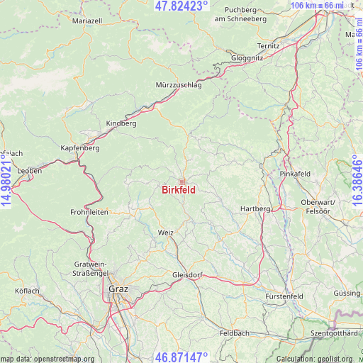
Birkfeld GPS coordinates[2]
47° 21' 0" North, 15° 40' 59.988" East
| Map corner | latitude | longitude |
|---|---|---|
| Upper-left | 47.82423°, | 14.98021° |
| Center: | 47.35°, | 15.68333° |
| Lower-right: | 46.87147°, | 16.38646° |
| Map W x H: | 105.9×105.9 km | = 65.8×65.8mi |
| max Lat: | 48.98333° ⇑62.8% North |
| Birkfeld: | 47.35° |
| min Lat: | ⇓37.2% South 46.48841° |
| min Long | Birkfeld | max Long |
| 9.57802° | 15.68333° | 17.1° |
| W 71.3%⇐ | ⇒28.7% E |
Elevation
Elevation of Birkfeld is 676 m = 2218 ft, and this is 170.5 m = 559 ft above average elevation for this country.
| Max E: |
2140 m = 7021 ft | 22.9% |
| Birkfeld | 676 m 2218 ft | |
| Avg. | 505.5 m = 1658 ft | |
Min E: |
118 m = 387 ft | 77.1% |
See also: Austria elevation on elevation.city.
Geographical zone
Birkfeld is located in North temperate zone (between Tropic of Cancer and the Arctic Circle). Distance of this North polar circle is 2136.3 km =1327.4 mi to North.| Distance of | km | miles | from Birkfeld |
|---|---|---|---|
| North Pole | 4742.2 | 2946.7 | to North |
| Arctic Circle | 2136.3 | 1327.4 | to North |
| Tropic Cancer | 2658.9 | 1652.2 | to South |
| Equator | 5264.8 | 3271.4 | to South |


Nearby cities:
15 places around Birkfeld: (largest is in red/bold)
• Anger
8.4 km =5.2 mi,  175°
175°
• Baierdorf-Umgebung
7.5 km =4.7 mi,  164°
164°
• Fischbach
10.6 km =6.6 mi,  346°
346°
• Floing
10.7 km =6.6 mi,  153°
153°
• Gasen
9.5 km =5.9 mi,  292°
292°
• Gschaid bei Birkfeld
1.4 km =0.9 mi,  80°
80°
• Miesenbach bei Birkfeld
6.5 km =4 mi,  73°
73°
• Obersaifen
8.4 km =5.2 mi,  116°
116°
• Pittermann
10.6 km =6.6 mi,  45°
45°
• Prätis
9.7 km =6 mi,  92°
92°
• Sankt Kathrein am Offenegg
9.4 km =5.8 mi,  233°
233°
• Sankt Kathrein am Offenegg I Viertel
9.6 km =6 mi, 232°
• Sankt Kathrein am Offenegg II Viertel
9.1 km =5.7 mi,  253°
253°
• Strallegg
7.5 km =4.7 mi,  24°
24°
• Waisenegg
4.9 km =3 mi,  0°
0°
Sources, notices
• [Note1] Compared only with cities in Austria existing in our database
• [Src1] Map data: © OpenStreetMap contributors (CC-BY-SA)
• [Src2] Other city data from geonames.org with taken over terms of usage.
• [Src3] Geographical zone / Annual Mean Temperature by Robert A. Rohde @ Wikipedia
