Yackandandah geodata
Yackandandah (Victoria) is a populated place; located in Australia in Australia/Melbourne (GMT+11) time zone. With population of 1,763 people, there are 3076 cities with bigger population in this country. Compared to other cities in Australia, 79.4% of cities are located further ↑North; 53.9% of cities are located further →East and 86.9% of cities have lower elevation than Yackandandah. Note1


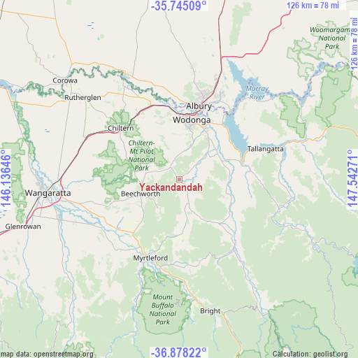
Yackandandah GPS coordinates[2]
36° 18' 49.356" South, 146° 50' 22.488" East
| Map corner | latitude | longitude |
|---|---|---|
| Upper-left | -35.74509°, | 146.13646° |
| Center: | -36.31371°, | 146.83958° |
| Lower-right: | -36.87822°, | 147.54271° |
| Map W x H: | 126×126 km | = 78.3×78.3mi |
| max Lat: | -10.58257° ⇑79.4% North |
| Yackandandah: | -36.31371° |
| min Lat: | ⇓20.6% South -43.31423° |
| min Long | Yackandandah | max Long |
| 113.53327° | 146.83958° | 153.61246° |
| W 46.1%⇐ | ⇒53.9% E |
Elevation
Elevation of Yackandandah is 285 m = 935 ft, and this is 163 m = 535 ft above average elevation for this country.
| Max E: |
1715 m = 5627 ft | 13.1% |
| Yackandandah | 285 m 935 ft | |
| Avg. | 122 m = 400 ft | |
Min E: |
-2 m = -7 ft | 86.9% |
See also: Australia elevation on elevation.city.
Geographical zone
Yackandandah is located in South temperate zone (between Tropic of Capricorn and the Antarctic Circle). Distance of this Southern Tropic circle is 1431.8 km =889.7 mi to North.| Distance of | km | miles | from Yackandandah |
|---|---|---|---|
| Equator | 4037.7 | 2508.9 | to North |
| Tropic Capricorn | 1431.8 | 889.7 | to North |
| Antarctic Circle | 3363.5 | 2090 | to South |
| South Pole | 5969.4 | 3709.2 | to South |


Nearby cities:
15 places around Yackandandah: (largest is in red/bold)
• Albury
27.6 km =17.1 mi,  15°
15°
• Bandiana
20 km =12.4 mi, 22°
• Baranduda
17 km =10.6 mi,  36°
36°
• Barnawartha
27.5 km =17.1 mi,  327°
327°
• Beechworth
14.6 km =9.1 mi,  250°
250°
• Bonegilla
24.4 km =15.2 mi, 37°
• Chiltern
27.6 km =17.1 mi,  311°
311°
• East Albury
27.1 km =16.8 mi, 17°
• Killara
21.8 km =13.5 mi,  27°
27°
• Leneva
12.1 km =7.5 mi, 26°
• South Albury
26 km =16.2 mi,  13°
13°
• Tangambalanga
18.3 km =11.4 mi,  68°
68°
• West Albury
26.4 km =16.4 mi, 10°
• West Wodonga
21.2 km =13.2 mi,  2°
2°
• Wodonga
21.8 km =13.5 mi, 11°
Sources, notices
• [Note1] Compared only with cities in Australia existing in our database
• [Src1] Map data: © OpenStreetMap contributors (CC-BY-SA)
• [Src2] Other city data from geonames.org with taken over terms of usage.
• [Src3] Geographical zone / Annual Mean Temperature by Robert A. Rohde @ Wikipedia
