Killarney geodata
Killarney (Queensland) is a populated place; located in Australia in Australia/Brisbane (GMT+10) time zone. With population of 934 people, there are 3925 cities with bigger population in this country. Compared to other cities in Australia, 74.8% of cities are located further ↓South; 83.5% of cities are located further ←West and 93.7% of cities have lower elevation than Killarney. Note1


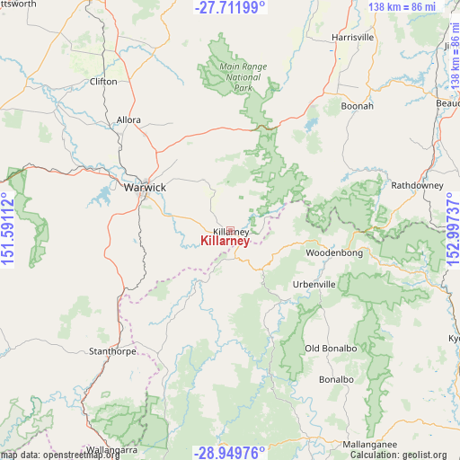
Killarney GPS coordinates[2]
28° 19' 57.648" South, 152° 17' 39.264" East
| Map corner | latitude | longitude |
|---|---|---|
| Upper-left | -27.71199°, | 151.59112° |
| Center: | -28.33268°, | 152.29424° |
| Lower-right: | -28.94976°, | 152.99737° |
| Map W x H: | 137.6×137.6 km | = 85.5×85.5mi |
| max Lat: | -10.58257° ⇑25.2% North |
| Killarney: | -28.33268° |
| min Lat: | ⇓74.8% South -43.31423° |
| min Long | Killarney | max Long |
| 113.53327° | 152.29424° | 153.61246° |
| W 83.5%⇐ | ⇒16.5% E |
Elevation
Elevation of Killarney is 517 m = 1696 ft, and this is 395 m = 1296 ft above average elevation for this country.
| Max E: |
1715 m = 5627 ft | 6.3% |
| Killarney | 517 m 1696 ft | |
| Avg. | 122 m = 400 ft | |
Min E: |
-2 m = -7 ft | 93.7% |
See also: Australia elevation on elevation.city.
Geographical zone
Killarney is located in South temperate zone (between Tropic of Capricorn and the Antarctic Circle). Distance of this Southern Tropic circle is 544.4 km =338.3 mi to North.| Distance of | km | miles | from Killarney |
|---|---|---|---|
| Equator | 3150.3 | 1957.5 | to North |
| Tropic Capricorn | 544.4 | 338.3 | to North |
| Antarctic Circle | 4250.9 | 2641.4 | to South |
| South Pole | 6856.8 | 4260.6 | to South |


Nearby cities:
15 places around Killarney: (largest is in red/bold)
• Allora
45.2 km =28.1 mi,  317°
317°
• Aratula
45.4 km =28.2 mi,  31°
31°
• Boonah
53.2 km =33.1 mi,  45°
45°
• Carrolls Creek
57.6 km =35.8 mi,  198°
198°
• Clifton
58.4 km =36.3 mi, 319°
• Dugandan
50.7 km =31.5 mi, 46°
• Greenmount
72 km =44.7 mi,  327°
327°
• Harrisville
68.4 km =42.5 mi, 32°
• Kalbar
54.2 km =33.7 mi,  36°
36°
• Kooralbyn
60.4 km =37.5 mi,  62°
62°
• Nobby
65 km =40.4 mi, 323°
• Peak Crossing
74.3 km =46.2 mi, 34°
• Rosenthal Heights
29.4 km =18.3 mi,  290°
290°
• Stanthorpe
50.2 km =31.2 mi,  224°
224°
• Warwick
28.4 km =17.6 mi,  296°
296°
Sources, notices
• [Note1] Compared only with cities in Australia existing in our database
• [Src1] Map data: © OpenStreetMap contributors (CC-BY-SA)
• [Src2] Other city data from geonames.org with taken over terms of usage.
• [Src3] Geographical zone / Annual Mean Temperature by Robert A. Rohde @ Wikipedia
