Rosenthal Heights geodata
Rosenthal Heights (Queensland) is a populated place; located in Australia in Australia/Brisbane (GMT+10) time zone. With population of 2,237 people, there are 2736 cities with bigger population in this country. Compared to other cities in Australia, 75% of cities are located further ↓South; 82.7% of cities are located further ←West and 93.3% of cities have lower elevation than Rosenthal Heights. Note1


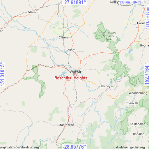
Rosenthal Heights GPS coordinates[2]
28° 14' 24.468" South, 152° 0' 47.772" East
| Map corner | latitude | longitude |
|---|---|---|
| Upper-left | -27.61891°, | 151.31015° |
| Center: | -28.24013°, | 152.01327° |
| Lower-right: | -28.85776°, | 152.7164° |
| Map W x H: | 137.7×137.7 km | = 85.6×85.6mi |
| max Lat: | -10.58257° ⇑25% North |
| Rosenthal Heights: | -28.24013° |
| min Lat: | ⇓75% South -43.31423° |
| min Long | Rosenthal Heigh | max Long |
| 113.53327° | 152.01327° | 153.61246° |
| W 82.7%⇐ | ⇒17.3% E |
Elevation
Elevation of Rosenthal Heights is 492 m = 1614 ft, and this is 370 m = 1214 ft above average elevation for this country.
| Max E: |
1715 m = 5627 ft | 6.7% |
| Rosenthal Heights | 492 m 1614 ft | |
| Avg. | 122 m = 400 ft | |
Min E: |
-2 m = -7 ft | 93.3% |
See also: Australia elevation on elevation.city.
Geographical zone
Rosenthal Heights is located in South temperate zone (between Tropic of Capricorn and the Antarctic Circle). Distance of this Southern Tropic circle is 534.1 km =331.9 mi to North.| Distance of | km | miles | from Rosenthal Heights |
|---|---|---|---|
| Equator | 3140 | 1951.1 | to North |
| Tropic Capricorn | 534.1 | 331.9 | to North |
| Antarctic Circle | 4261.2 | 2647.8 | to South |
| South Pole | 6867.1 | 4267 | to South |


Nearby cities:
15 places around Rosenthal Heights: (largest is in red/bold)
• Allora
23.1 km =14.4 mi,  352°
352°
• Aratula
58.5 km =36.4 mi,  60°
60°
• Cambooya
60.3 km =37.5 mi, 345°
• Carrolls Creek
65.4 km =40.6 mi,  172°
172°
• Clifton
35.6 km =22.1 mi,  342°
342°
• Greenmount
51.7 km =32.1 mi, 347°
• Hodgson Vale
64.4 km =40 mi, 352°
• Killarney
29.4 km =18.3 mi,  110°
110°
• Nobby
43.5 km =27 mi, 345°
• Preston
64.5 km =40.1 mi,  357°
357°
• Southbrook
68.4 km =42.5 mi,  334°
334°
• Stanthorpe
46.7 km =29 mi,  189°
189°
• Top Camp
67.6 km =42 mi, 353°
• Warwick
3.1 km =1.9 mi,  41°
41°
• Wyreema
66.8 km =41.5 mi, 346°
Sources, notices
• [Note1] Compared only with cities in Australia existing in our database
• [Src1] Map data: © OpenStreetMap contributors (CC-BY-SA)
• [Src2] Other city data from geonames.org with taken over terms of usage.
• [Src3] Geographical zone / Annual Mean Temperature by Robert A. Rohde @ Wikipedia
