Avoca geodata
Avoca (Victoria) is a populated place; located in Australia in Australia/Melbourne (GMT+11) time zone. With population of 1,169 people, there are 3621 cities with bigger population in this country. Compared to other cities in Australia, 81.7% of cities are located further ↑North; 73.7% of cities are located further →East and 84.5% of cities have lower elevation than Avoca. Note1


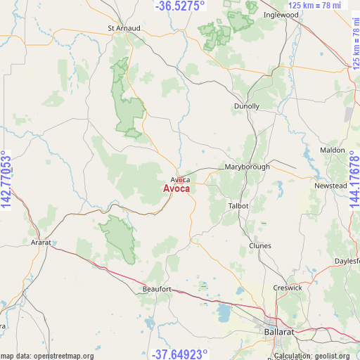
Avoca GPS coordinates[2]
37° 5' 25.584" South, 143° 28' 25.14" East
| Map corner | latitude | longitude |
|---|---|---|
| Upper-left | -36.5275°, | 142.77053° |
| Center: | -37.09044°, | 143.47365° |
| Lower-right: | -37.64923°, | 144.17678° |
| Map W x H: | 124.7×124.7 km | = 77.5×77.5mi |
| max Lat: | -10.58257° ⇑81.7% North |
| Avoca: | -37.09044° |
| min Lat: | ⇓18.3% South -43.31423° |
| min Long | Avoca | max Long |
| 113.53327° | 143.47365° | 153.61246° |
| W 26.3%⇐ | ⇒73.7% E |
Elevation
Elevation of Avoca is 239 m = 784 ft, and this is 117 m = 384 ft above average elevation for this country.
| Max E: |
1715 m = 5627 ft | 15.5% |
| Avoca | 239 m 784 ft | |
| Avg. | 122 m = 400 ft | |
Min E: |
-2 m = -7 ft | 84.5% |
See also: Australia elevation on elevation.city.
Geographical zone
Avoca is located in South temperate zone (between Tropic of Capricorn and the Antarctic Circle). Distance of this Southern Tropic circle is 1518.2 km =943.4 mi to North.| Distance of | km | miles | from Avoca |
|---|---|---|---|
| Equator | 4124.1 | 2562.6 | to North |
| Tropic Capricorn | 1518.2 | 943.4 | to North |
| Antarctic Circle | 3277.1 | 2036.3 | to South |
| South Pole | 5883 | 3655.5 | to South |


Nearby cities:
15 places around Avoca: (largest is in red/bold)
• Ararat
53 km =32.9 mi,  245°
245°
• Beaufort
38.6 km =24 mi,  191°
191°
• Cardigan
55 km =34.2 mi,  153°
153°
• Cardigan Village
51.9 km =32.2 mi,  155°
155°
• Carisbrook
30.8 km =19.1 mi,  81°
81°
• Clunes
35.8 km =22.2 mi,  129°
129°
• Creswick
52.6 km =32.7 mi, 134°
• Dunolly
34.5 km =21.4 mi,  42°
42°
• Lucas
57.2 km =35.5 mi, 152°
• Maldon
53.8 km =33.4 mi, 78°
• Maryborough
24.1 km =15 mi, 78°
• Miners Rest
52.2 km =32.4 mi, 146°
• Mitchell Park
53.6 km =33.3 mi, 149°
• Newstead
52.4 km =32.6 mi,  91°
91°
• Wendouree
58.1 km =36.1 mi, 147°
Sources, notices
• [Note1] Compared only with cities in Australia existing in our database
• [Src1] Map data: © OpenStreetMap contributors (CC-BY-SA)
• [Src2] Other city data from geonames.org with taken over terms of usage.
• [Src3] Geographical zone / Annual Mean Temperature by Robert A. Rohde @ Wikipedia
