Wellesley Islands geodata
Wellesley Islands (Queensland) is a section of populated place; located in Australia in Australia/Brisbane (GMT+10) time zone. With population of 1,133 people, there are 3660 cities with bigger population in this country. Compared to other cities in Australia, 97.7% of cities are located further ↓South; 76.5% of cities are located further →East and 88.3% of cities have higher elevation than Wellesley Islands. Note1


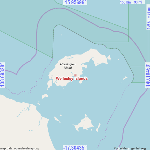
Wellesley Islands GPS coordinates[2]
16° 37' 54.624" South, 139° 24' 5.04" East
| Map corner | latitude | longitude |
|---|---|---|
| Upper-left | -15.95696°, | 138.69828° |
| Center: | -16.63184°, | 139.4014° |
| Lower-right: | -17.30435°, | 140.10453° |
| Map W x H: | 149.8×149.8 km | = 93.1×93.1mi |
| max Lat: | -10.58257° ⇑2.3% North |
| Wellesley Islands: | -16.63184° |
| min Lat: | ⇓97.7% South -43.31423° |
| min Long | Wellesley Islan | max Long |
| 113.53327° | 139.4014° | 153.61246° |
| W 23.5%⇐ | ⇒76.5% E |
Elevation
Elevation of Wellesley Islands is 10 m = 33 ft, and this is 112 m = 367 ft below average elevation for this country.
| Max E: |
1715 m = 5627 ft | 88.3% |
| Avg. | 122 m = 400 ft | |
| Wellesley Islands | 10 m = 33 ft | |
Min E: |
-2 m = -7 ft | 11.7% |
See also: Australia elevation on elevation.city.
Geographical zone
Wellesley Islands is located in South Torrid zone (between Equator and Tropic of Capricorn). Distance of this Southern Tropic circle is 756.6 km =470.1 mi to South.| Distance of | km | miles | from Wellesley Islands |
|---|---|---|---|
| Equator | 1849.3 | 1149.1 | to North |
| Tropic Capricorn | 756.6 | 470.1 | to South |
| Antarctic Circle | 5551.9 | 3449.8 | to South |
| South Pole | 8157.8 | 5069 | to South |


Nearby cities:
7 places around Wellesley Islands: (largest is in red/bold)
• Borroloola
335.9 km =208.7 mi,  280°
280°
• Camooweal
390 km =242.3 mi,  200°
200°
• Doomadgee
158.1 km =98.2 mi, 202°
• Karumba
180.3 km =112 mi,  121°
121°
• Kowanyama
281.7 km =175 mi,  62°
62°
• Normanton
212.3 km =131.9 mi, 123°
• Pormpuraaw
305.9 km =190.1 mi,  50°
50°
Sources, notices
• [Note1] Compared only with cities in Australia existing in our database
• [Src1] Map data: © OpenStreetMap contributors (CC-BY-SA)
• [Src2] Other city data from geonames.org with taken over terms of usage.
• [Src3] Geographical zone / Annual Mean Temperature by Robert A. Rohde @ Wikipedia
