North Maleny geodata
North Maleny (Queensland) is a section of populated place; located in Australia in Australia/Brisbane (GMT+10) time zone. With population of 624 people, there are 4506 cities with bigger population in this country. Compared to other cities in Australia, 86.3% of cities are located further ↓South; 87.9% of cities are located further ←West and 92% of cities have lower elevation than North Maleny. Note1


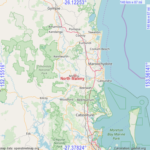
North Maleny GPS coordinates[2]
26° 45' 7.632" South, 152° 51' 29.808" East
| Map corner | latitude | longitude |
|---|---|---|
| Upper-left | -26.12253°, | 152.15516° |
| Center: | -26.75212°, | 152.85828° |
| Lower-right: | -27.37824°, | 153.56141° |
| Map W x H: | 139.6×139.6 km | = 86.7×86.7mi |
| max Lat: | -10.58257° ⇑13.7% North |
| North Maleny: | -26.75212° |
| min Lat: | ⇓86.3% South -43.31423° |
| min Long | North Maleny | max Long |
| 113.53327° | 152.85828° | 153.61246° |
| W 87.9%⇐ | ⇒12.1% E |
Elevation
Elevation of North Maleny is 442 m = 1450 ft, and this is 320 m = 1050 ft above average elevation for this country.
| Max E: |
1715 m = 5627 ft | 8% |
| North Maleny | 442 m 1450 ft | |
| Avg. | 122 m = 400 ft | |
Min E: |
-2 m = -7 ft | 92% |
See also: Australia elevation on elevation.city.
Geographical zone
North Maleny is located in South temperate zone (between Tropic of Capricorn and the Antarctic Circle). Distance of this Southern Tropic circle is 368.6 km =229 mi to North.| Distance of | km | miles | from North Maleny |
|---|---|---|---|
| Equator | 2974.6 | 1848.3 | to North |
| Tropic Capricorn | 368.6 | 229 | to North |
| Antarctic Circle | 4426.6 | 2750.6 | to South |
| South Pole | 7032.5 | 4369.8 | to South |


Nearby cities:
15 places around North Maleny: (largest is in red/bold)
• Conondale
13.9 km =8.6 mi,  277°
277°
• Dulong
14 km =8.7 mi,  19°
19°
• Eudlo
9.8 km =6.1 mi,  75°
75°
• Flaxton
10.6 km =6.6 mi,  3°
3°
• Hunchy
9.6 km =6 mi,  33°
33°
• Ilkley
14 km =8.7 mi, 80°
• Landsborough
11.9 km =7.4 mi,  120°
120°
• Maleny
1.3 km =0.8 mi,  225°
225°
• Mapleton
14.2 km =8.8 mi, 3°
• Montville
8 km =5 mi, 18°
• Palmwoods
12.6 km =7.8 mi,  54°
54°
• Peachester
10.7 km =6.6 mi,  166°
166°
• Reesville
7 km =4.3 mi,  263°
263°
• West Woombye
11.6 km =7.2 mi,  35°
35°
• Witta
7.1 km =4.4 mi,  324°
324°
Sources, notices
• [Note1] Compared only with cities in Australia existing in our database
• [Src1] Map data: © OpenStreetMap contributors (CC-BY-SA)
• [Src2] Other city data from geonames.org with taken over terms of usage.
• [Src3] Geographical zone / Annual Mean Temperature by Robert A. Rohde @ Wikipedia
