Conondale geodata
Conondale (Queensland) is a section of populated place; located in Australia in Australia/Brisbane (GMT+10) time zone. With population of 859 people, there are 4047 cities with bigger population in this country. Compared to other cities in Australia, 86.4% of cities are located further ↓South; 85.9% of cities are located further ←West and 79.8% of cities have lower elevation than Conondale. Note1


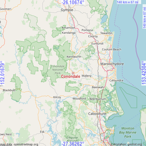
Conondale GPS coordinates[2]
26° 44' 11.076" South, 152° 43' 11.676" East
| Map corner | latitude | longitude |
|---|---|---|
| Upper-left | -26.10674°, | 152.01679° |
| Center: | -26.73641°, | 152.71991° |
| Lower-right: | -27.36262°, | 153.42304° |
| Map W x H: | 139.6×139.6 km | = 86.7×86.7mi |
| max Lat: | -10.58257° ⇑13.6% North |
| Conondale: | -26.73641° |
| min Lat: | ⇓86.4% South -43.31423° |
| min Long | Conondale | max Long |
| 113.53327° | 152.71991° | 153.61246° |
| W 85.9%⇐ | ⇒14.1% E |
Elevation
Elevation of Conondale is 178 m = 584 ft, and this is 56 m = 184 ft above average elevation for this country.
| Max E: |
1715 m = 5627 ft | 20.2% |
| Conondale | 178 m 584 ft | |
| Avg. | 122 m = 400 ft | |
Min E: |
-2 m = -7 ft | 79.8% |
See also: Australia elevation on elevation.city.
Geographical zone
Conondale is located in South temperate zone (between Tropic of Capricorn and the Antarctic Circle). Distance of this Southern Tropic circle is 366.9 km =228 mi to North.| Distance of | km | miles | from Conondale |
|---|---|---|---|
| Equator | 2972.8 | 1847.2 | to North |
| Tropic Capricorn | 366.9 | 228 | to North |
| Antarctic Circle | 4428.4 | 2751.7 | to South |
| South Pole | 7034.3 | 4370.9 | to South |


Nearby cities:
15 places around Conondale: (largest is in red/bold)
• Dulong
21.7 km =13.5 mi,  58°
58°
• Eudlo
23.3 km =14.5 mi,  88°
88°
• Flaxton
16.8 km =10.4 mi, 58°
• Hunchy
20 km =12.4 mi,  71°
71°
• Kenilworth
15.6 km =9.7 mi,  2°
2°
• Kureelpa
22.3 km =13.9 mi,  49°
49°
• Maleny
13.1 km =8.1 mi,  101°
101°
• Mapleton
19.3 km =12 mi, 49°
• Montville
17.3 km =10.7 mi, 70°
• North Maleny
13.9 km =8.6 mi, 97°
• Peachester
20.3 km =12.6 mi,  126°
126°
• Reesville
7.2 km =4.5 mi,  110°
110°
• Sandy Creek
15.1 km =9.4 mi,  212°
212°
• West Woombye
21.9 km =13.6 mi, 69°
• Witta
10.4 km =6.5 mi, 67°
Sources, notices
• [Note1] Compared only with cities in Australia existing in our database
• [Src1] Map data: © OpenStreetMap contributors (CC-BY-SA)
• [Src2] Other city data from geonames.org with taken over terms of usage.
• [Src3] Geographical zone / Annual Mean Temperature by Robert A. Rohde @ Wikipedia
