Anmatjere geodata
Anmatjere (Northern Territory) is a populated place; located in Australia in Australia/Darwin (GMT+9.5) time zone. With population of 522 people, there are 4810 cities with bigger population in this country. Compared to other cities in Australia, 92.6% of cities are located further ↓South; 86.8% of cities are located further →East and 94.8% of cities have lower elevation than Anmatjere. Note1


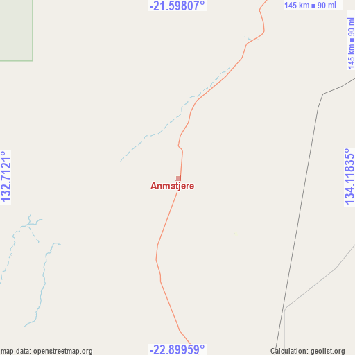
Anmatjere GPS coordinates[2]
22° 15' 1.224" South, 133° 24' 54.792" East
| Map corner | latitude | longitude |
|---|---|---|
| Upper-left | -21.59807°, | 132.7121° |
| Center: | -22.25034°, | 133.41522° |
| Lower-right: | -22.89959°, | 134.11835° |
| Map W x H: | 144.7×144.7 km | = 89.9×89.9mi |
| max Lat: | -10.58257° ⇑7.4% North |
| Anmatjere: | -22.25034° |
| min Lat: | ⇓92.6% South -43.31423° |
| min Long | Anmatjere | max Long |
| 113.53327° | 133.41522° | 153.61246° |
| W 13.2%⇐ | ⇒86.8% E |
Elevation
Elevation of Anmatjere is 578 m = 1896 ft, and this is 456 m = 1496 ft above average elevation for this country.
| Max E: |
1715 m = 5627 ft | 5.2% |
| Anmatjere | 578 m 1896 ft | |
| Avg. | 122 m = 400 ft | |
Min E: |
-2 m = -7 ft | 94.8% |
See also: Australia elevation on elevation.city.
Geographical zone
Anmatjere is located in South Torrid zone (between Equator and Tropic of Capricorn). Distance of this Southern Tropic circle is 131.9 km =82 mi to South.| Distance of | km | miles | from Anmatjere |
|---|---|---|---|
| Equator | 2474 | 1537.3 | to North |
| Tropic Capricorn | 131.9 | 82 | to South |
| Antarctic Circle | 4927.2 | 3061.6 | to South |
| South Pole | 7533.1 | 4680.8 | to South |


Nearby cities:
15 places around Anmatjere: (largest is in red/bold)
• Alice Springs
167.9 km =104.3 mi,  163°
163°
• Alice Springs city centre
167.8 km =104.3 mi, 163°
• Araluen
166.9 km =103.7 mi, 164°
• Braitling
165.6 km =102.9 mi, 163°
• Desert Springs
169.9 km =105.6 mi, 163°
• East Side
167.6 km =104.1 mi, 163°
• Gillen
168.6 km =104.8 mi, 164°
• Hermannsburg
199.9 km =124.2 mi,  198°
198°
• Ilparpa
172 km =106.9 mi,  166°
166°
• Larapinta
166 km =103.1 mi, 165°
• Mount Johns
171.5 km =106.6 mi, 162°
• Ross
173.5 km =107.8 mi, 163°
• Sadadeen
169.1 km =105.1 mi, 162°
• The Gap
169.3 km =105.2 mi, 163°
• Yuendumu
167 km =103.8 mi,  269°
269°
Sources, notices
• [Note1] Compared only with cities in Australia existing in our database
• [Src1] Map data: © OpenStreetMap contributors (CC-BY-SA)
• [Src2] Other city data from geonames.org with taken over terms of usage.
• [Src3] Geographical zone / Annual Mean Temperature by Robert A. Rohde @ Wikipedia
