Montero geodata
Montero (Santa Cruz) is a populated place; located in Bolivia in America/La_Paz (GMT-4) time zone. With population of 88,616 people, there are 8 cities with bigger population in this country. Compared to other cities in Bolivia, 72.7% of cities are located further ↓South; 84.5% of cities are located further ←West and 83.2% of cities have higher elevation than Montero. Note1


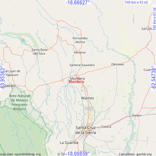
Montero GPS coordinates[2]
17° 20' 19.176" South, 63° 15' 1.8" West
| Map corner | latitude | longitude |
|---|---|---|
| Upper-left | -16.66627°, | -63.95363° |
| Center: | -17.33866°, | -63.2505° |
| Lower-right: | -18.00859°, | -62.54738° |
| Map W x H: | 149.3×149.3 km | = 92.8×92.8mi |
| max Lat: | -9.71828° ⇑27.3% North |
| Montero: | -17.33866° |
| min Lat: | ⇓72.7% South -22.73206° |
| min Long | Montero | max Long |
| -69.14843° | -63.2505° | -57.76667° |
| W 84.5%⇐ | ⇒15.5% E |
Elevation
Elevation of Montero is 300 m = 984 ft, and this is 1711.3 m = 5615 ft below average elevation for this country.
| Max E: |
4732 m = 15525 ft | 83.2% |
| Avg. | 2011.3 m = 6599 ft | |
| Montero | 300 m = 984 ft | |
Min E: |
92 m = 302 ft | 16.8% |
See also: Montero elevation on elevation.city.
Geographical zone
Montero is located in South Torrid zone (between Equator and Tropic of Capricorn). Distance of this Southern Tropic circle is 678 km =421.3 mi to South.| Distance of | km | miles | from Montero |
|---|---|---|---|
| Equator | 1927.9 | 1197.9 | to North |
| Tropic Capricorn | 678 | 421.3 | to South |
| Antarctic Circle | 5473.3 | 3400.9 | to South |
| South Pole | 8079.2 | 5020.2 | to South |


Nearby cities:
15 places around Montero: (largest is in red/bold)
• Buena Vista
46.6 km =29 mi,  253°
253°
• Cotoca
57.2 km =35.5 mi,  158°
158°
• La Bélgica
23.8 km =14.8 mi,  171°
171°
• Los Negros
48 km =29.8 mi,  203°
203°
• Mineros
24.5 km =15.2 mi,  4°
4°
• Okinawa Número Uno
47.5 km =29.5 mi,  75°
75°
• Portachuelo
15.2 km =9.4 mi,  264°
264°
• Puearto Pailas
58.8 km =36.5 mi,  127°
127°
• Puesto de Pailas
59 km =36.7 mi, 125°
• San Carlos
53.4 km =33.2 mi, 262°
• San Juan del Surutú
50.3 km =31.3 mi, 251°
• Santa Cruz de la Sierra
50.3 km =31.3 mi, 171°
• Santa Rosa del Sara
44.6 km =27.7 mi,  304°
304°
• Villa Yapacaní
62.2 km =38.6 mi, 263°
• Warnes
21.6 km =13.4 mi, 156°
Sources, notices
• [Note1] Compared only with cities in Bolivia existing in our database
• [Src1] Map data: © OpenStreetMap contributors (CC-BY-SA)
• [Src2] Other city data from geonames.org with taken over terms of usage.
• [Src3] Geographical zone / Annual Mean Temperature by Robert A. Rohde @ Wikipedia
