Jorochito geodata
Jorochito (Santa Cruz) is a populated place; located in Bolivia in America/La_Paz (GMT-4) time zone. With population of 4,013 people, there are 69 cities with bigger population in this country. Compared to other cities in Bolivia, 54.7% of cities are located further ↑North; 80.1% of cities are located further ←West and 68.9% of cities have higher elevation than Jorochito. Note1


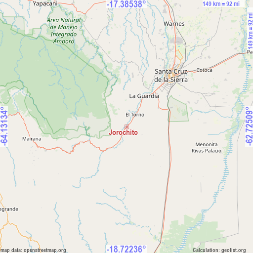
Jorochito GPS coordinates[2]
18° 3' 18.504" South, 63° 25' 41.556" West
| Map corner | latitude | longitude |
|---|---|---|
| Upper-left | -17.38538°, | -64.13134° |
| Center: | -18.05514°, | -63.42821° |
| Lower-right: | -18.72236°, | -62.72509° |
| Map W x H: | 148.7×148.7 km | = 92.4×92.4mi |
| max Lat: | -9.71828° ⇑54.7% North |
| Jorochito: | -18.05514° |
| min Lat: | ⇓45.3% South -22.73206° |
| min Long | Jorochito | max Long |
| -69.14843° | -63.42821° | -57.76667° |
| W 80.1%⇐ | ⇒19.9% E |
Elevation
Elevation of Jorochito is 564 m = 1850 ft, and this is 1447.3 m = 4748 ft below average elevation for this country.
| Max E: |
4732 m = 15525 ft | 68.9% |
| Avg. | 2011.3 m = 6599 ft | |
| Jorochito | 564 m = 1850 ft | |
Min E: |
92 m = 302 ft | 31.1% |
See also: Bolivia elevation on elevation.city.
Geographical zone
Jorochito is located in South Torrid zone (between Equator and Tropic of Capricorn). Distance of this Southern Tropic circle is 598.4 km =371.8 mi to South.| Distance of | km | miles | from Jorochito |
|---|---|---|---|
| Equator | 2007.5 | 1247.4 | to North |
| Tropic Capricorn | 598.4 | 371.8 | to South |
| Antarctic Circle | 5393.6 | 3351.4 | to South |
| South Pole | 7999.5 | 4970.7 | to South |


Nearby cities:
15 places around Jorochito: (largest is in red/bold)
• Cotoca
48 km =29.8 mi,  56°
56°
• La Bélgica
60.5 km =37.6 mi,  21°
21°
• Limoncito
3.6 km =2.2 mi,  42°
42°
• Los Negros
35.8 km =22.2 mi,  359°
359°
• Mairana
56.6 km =35.2 mi,  262°
262°
• Paurito
52.4 km =32.6 mi,  68°
68°
• Samaipata
49.3 km =30.6 mi,  253°
253°
• San Juan del Surutú
69.8 km =43.4 mi,  335°
335°
• San Julian
62.8 km =39 mi, 63°
• San Julian
66.7 km =41.4 mi, 63°
• Santa Cruz de la Sierra
39.7 km =24.7 mi, 41°
• Santa Fe
44.2 km =27.5 mi, 68°
• Santa Rita
12.9 km =8 mi, 40°
• Santiago del Torno
9.1 km =5.7 mi,  33°
33°
• Warnes
66 km =41 mi, 24°
Sources, notices
• [Note1] Compared only with cities in Bolivia existing in our database
• [Src1] Map data: © OpenStreetMap contributors (CC-BY-SA)
• [Src2] Other city data from geonames.org with taken over terms of usage.
• [Src3] Geographical zone / Annual Mean Temperature by Robert A. Rohde @ Wikipedia
