Colquechaca geodata
Colquechaca (Potosí) is a populated place; located in Bolivia in America/La_Paz (GMT-4) time zone. With population of 1,706 people, there are 109 cities with bigger population in this country. Compared to other cities in Bolivia, 62.1% of cities are located further ↑North; 65.8% of cities are located further →East and 98.8% of cities have lower elevation than Colquechaca. Note1


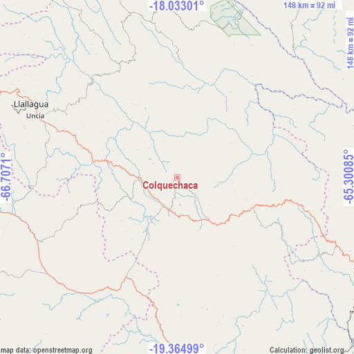
Colquechaca GPS coordinates[2]
18° 42' 1.116" South, 66° 0' 14.292" West
| Map corner | latitude | longitude |
|---|---|---|
| Upper-left | -18.03301°, | -66.7071° |
| Center: | -18.70031°, | -66.00397° |
| Lower-right: | -19.36499°, | -65.30085° |
| Map W x H: | 148.1×148.1 km | = 92×92mi |
| max Lat: | -9.71828° ⇑62.1% North |
| Colquechaca: | -18.70031° |
| min Lat: | ⇓37.9% South -22.73206° |
| min Long | Colquechaca | max Long |
| -69.14843° | -66.00397° | -57.76667° |
| W 34.2%⇐ | ⇒65.8% E |
Elevation
Elevation of Colquechaca is 4170 m = 13681 ft, and this is 2158.7 m = 7082 ft above average elevation for this country.
| Max E: |
4732 m = 15525 ft | 1.2% |
| Colquechaca | 4170 m 13681 ft | |
| Avg. | 2011.3 m = 6599 ft | |
Min E: |
92 m = 302 ft | 98.8% |
See also: Bolivia elevation on elevation.city.
Geographical zone
Colquechaca is located in South Torrid zone (between Equator and Tropic of Capricorn). Distance of this Southern Tropic circle is 526.6 km =327.2 mi to South.| Distance of | km | miles | from Colquechaca |
|---|---|---|---|
| Equator | 2079.3 | 1292 | to North |
| Tropic Capricorn | 526.6 | 327.2 | to South |
| Antarctic Circle | 5321.9 | 3306.9 | to South |
| South Pole | 7927.8 | 4926.1 | to South |


Nearby cities:
15 places around Colquechaca: (largest is in red/bold)
• Challapata
83.7 km =52 mi,  254°
254°
• Chaunaca
66.6 km =41.4 mi,  121°
121°
• Chuqui Chuqui
99.5 km =61.8 mi,  97°
97°
• Huanuni
98.9 km =61.5 mi,  297°
297°
• Huata
86.8 km =53.9 mi,  113°
113°
• Huayllas
88.4 km =54.9 mi,  126°
126°
• Llallagua
68.4 km =42.5 mi, 296°
• Maragua
71.7 km =44.6 mi, 122°
• Mojotoro
101.5 km =63.1 mi, 103°
• Piocera
63.8 km =39.6 mi,  94°
94°
• Pocpo
68.7 km =42.7 mi, 102°
• Potolo
60.4 km =37.5 mi, 124°
• Sucre
86.3 km =53.6 mi, 115°
• Totoral
94.4 km =58.7 mi,  283°
283°
• Yotala
93 km =57.8 mi, 123°
Sources, notices
• [Note1] Compared only with cities in Bolivia existing in our database
• [Src1] Map data: © OpenStreetMap contributors (CC-BY-SA)
• [Src2] Other city data from geonames.org with taken over terms of usage.
• [Src3] Geographical zone / Annual Mean Temperature by Robert A. Rohde @ Wikipedia
