São Borja geodata
São Borja (Rio Grande do Sul) is a populated place; located in Brazil in America/Sao_Paulo (GMT-3) time zone. With population of 59,613 people, there are 372 cities with bigger population in this country. Compared to other cities in Brazil, 95.4% of cities are located further ↑North; 95.2% of cities are located further →East and 72.6% of cities have higher elevation than São Borja. Note1


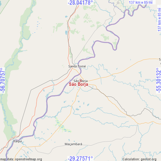
São Borja GPS coordinates[2]
28° 39' 38.016" South, 56° 0' 15.984" West
| Map corner | latitude | longitude |
|---|---|---|
| Upper-left | -28.04178°, | -56.70757° |
| Center: | -28.66056°, | -56.00444° |
| Lower-right: | -29.27571°, | -55.30132° |
| Map W x H: | 137.2×137.2 km | = 85.3×85.3mi |
| max Lat: | 2.81972° ⇑95.4% North |
| São Borja: | -28.66056° |
| min Lat: | ⇓4.6% South -33.69111° |
| min Long | São Borja | max Long |
| -72.89583° | -56.00444° | -32.41083° |
| W 4.8%⇐ | ⇒95.2% E |
Elevation
Elevation of São Borja is 98 m = 322 ft, and this is 282.9 m = 928 ft below average elevation for this country.
| Max E: |
1603 m = 5259 ft | 72.6% |
| Avg. | 380.9 m = 1250 ft | |
| São Borja | 98 m = 322 ft | |
Min E: |
0 m = 0 ft | 27.4% |
See also: São Borja elevation on elevation.city.
Geographical zone
São Borja is located in South temperate zone (between Tropic of Capricorn and the Antarctic Circle). Distance of this Southern Tropic circle is 580.8 km =360.9 mi to North.| Distance of | km | miles | from São Borja |
|---|---|---|---|
| Equator | 3186.8 | 1980.2 | to North |
| Tropic Capricorn | 580.8 | 360.9 | to North |
| Antarctic Circle | 4214.4 | 2618.7 | to South |
| South Pole | 6820.3 | 4237.9 | to South |


Nearby cities:
15 places around São Borja: (largest is in red/bold)
• Alegrete
126.5 km =78.6 mi,  170°
170°
• Butia Inferior
127.6 km =79.3 mi,  59°
59°
• Cacequi
177.7 km =110.4 mi,  139°
139°
• Cerro Largo
136.3 km =84.7 mi,  65°
65°
• Giruá
176.5 km =109.7 mi, 66°
• Horizontina
202.3 km =125.7 mi, 55°
• Itaqui
74.3 km =46.2 mi,  225°
225°
• Quaraí
196.8 km =122.3 mi,  192°
192°
• Santa Rosa
173.1 km =107.6 mi, 59°
• Santiago
125.4 km =77.9 mi,  118°
118°
• Santo Ângelo
174.9 km =108.7 mi,  76°
76°
• São Francisco de Assis
130.3 km =81 mi, 139°
• São Luiz Gonzaga
105.7 km =65.7 mi, 74°
• Três de Maio
199 km =123.7 mi, 60°
• Uruguaiana
160.8 km =99.9 mi,  220°
220°
Sources, notices
• [Note1] Compared only with cities in Brazil existing in our database
• [Src1] Map data: © OpenStreetMap contributors (CC-BY-SA)
• [Src2] Other city data from geonames.org with taken over terms of usage.
• [Src3] Geographical zone / Annual Mean Temperature by Robert A. Rohde @ Wikipedia
