Rio Grande geodata
Rio Grande (Rio Grande do Sul) is a populated place; located in Brazil in America/Sao_Paulo (GMT-3) time zone. With population of 187,838 people, there are 127 cities with bigger population in this country. Compared to other cities in Brazil, 99.8% of cities are located further ↑North; 88.1% of cities are located further →East and 97.2% of cities have higher elevation than Rio Grande. Note1


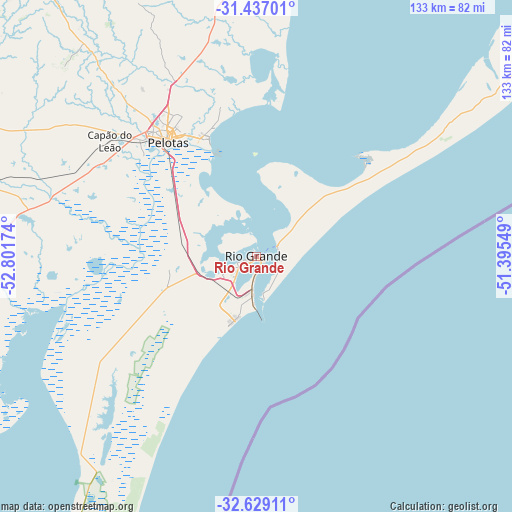
Rio Grande GPS coordinates[2]
32° 2' 6" South, 52° 5' 54.996" West
| Map corner | latitude | longitude |
|---|---|---|
| Upper-left | -31.43701°, | -52.80174° |
| Center: | -32.035°, | -52.09861° |
| Lower-right: | -32.62911°, | -51.39549° |
| Map W x H: | 132.5×132.5 km | = 82.3×82.3mi |
| max Lat: | 2.81972° ⇑99.8% North |
| Rio Grande: | -32.035° |
| min Lat: | ⇓0.2% South -33.69111° |
| min Long | Rio Grande | max Long |
| -72.89583° | -52.09861° | -32.41083° |
| W 11.9%⇐ | ⇒88.1% E |
Elevation
Elevation of Rio Grande is 7 m = 23 ft, and this is 373.9 m = 1227 ft below average elevation for this country.
| Max E: |
1603 m = 5259 ft | 97.2% |
| Avg. | 380.9 m = 1250 ft | |
| Rio Grande | 7 m = 23 ft | |
Min E: |
0 m = 0 ft | 2.8% |
See also: Rio Grande elevation on elevation.city.
Geographical zone
Rio Grande is located in South temperate zone (between Tropic of Capricorn and the Antarctic Circle). Distance of this Southern Tropic circle is 956 km =594 mi to North.| Distance of | km | miles | from Rio Grande |
|---|---|---|---|
| Equator | 3562 | 2213.3 | to North |
| Tropic Capricorn | 956 | 594 | to North |
| Antarctic Circle | 3839.2 | 2385.6 | to South |
| South Pole | 6445.1 | 4004.8 | to South |


Nearby cities:
15 places around Rio Grande: (largest is in red/bold)
• Arroio Grande
95.7 km =59.5 mi,  256°
256°
• Arroio dos Ratos
220.5 km =137 mi,  9°
9°
• Bagé
205.5 km =127.7 mi,  292°
292°
• Butiá
213.4 km =132.6 mi,  3°
3°
• Camaquã
134.4 km =83.5 mi, 11°
• Canguçu
89.7 km =55.7 mi,  322°
322°
• Caçapava do Sul
214.3 km =133.2 mi, 322°
• Encruzilhada do Sul
170.6 km =106 mi,  346°
346°
• Herval
122.3 km =76 mi,  270°
270°
• Jaguarão
133.8 km =83.1 mi,  243°
243°
• Pelotas
37.3 km =23.2 mi, 322°
• Pinheiro Machado
131.4 km =81.6 mi, 292°
• Santa Vitória do Palmar
203.2 km =126.3 mi,  215°
215°
• São Lourenço do Sul
75.3 km =46.8 mi, 8°
• Tapes
165.5 km =102.8 mi,  23°
23°
Sources, notices
• [Note1] Compared only with cities in Brazil existing in our database
• [Src1] Map data: © OpenStreetMap contributors (CC-BY-SA)
• [Src2] Other city data from geonames.org with taken over terms of usage.
• [Src3] Geographical zone / Annual Mean Temperature by Robert A. Rohde @ Wikipedia
