Arroio Grande geodata
Arroio Grande (Rio Grande do Sul) is a populated place; located in Brazil in America/Sao_Paulo (GMT-3) time zone. With population of 16,117 people, there are 1150 cities with bigger population in this country. Compared to other cities in Brazil, 99.9% of cities are located further ↑North; 90.7% of cities are located further →East and 84.8% of cities have higher elevation than Arroio Grande. Note1


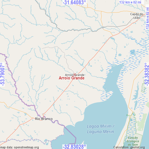
Arroio Grande GPS coordinates[2]
32° 14' 15" South, 53° 5' 12.984" West
| Map corner | latitude | longitude |
|---|---|---|
| Upper-left | -31.64083°, | -53.79007° |
| Center: | -32.2375°, | -53.08694° |
| Lower-right: | -32.83028°, | -52.38382° |
| Map W x H: | 132.3×132.3 km | = 82.2×82.2mi |
| max Lat: | 2.81972° ⇑99.9% North |
| Arroio Grande: | -32.2375° |
| min Lat: | ⇓0.1% South -33.69111° |
| min Long | Arroio Grande | max Long |
| -72.89583° | -53.08694° | -32.41083° |
| W 9.3%⇐ | ⇒90.7% E |
Elevation
Elevation of Arroio Grande is 31 m = 102 ft, and this is 349.9 m = 1148 ft below average elevation for this country.
| Max E: |
1603 m = 5259 ft | 84.8% |
| Avg. | 380.9 m = 1250 ft | |
| Arroio Grande | 31 m = 102 ft | |
Min E: |
0 m = 0 ft | 15.2% |
See also: Brazil elevation on elevation.city.
Geographical zone
Arroio Grande is located in South temperate zone (between Tropic of Capricorn and the Antarctic Circle). Distance of this Southern Tropic circle is 978.6 km =608.1 mi to North.| Distance of | km | miles | from Arroio Grande |
|---|---|---|---|
| Equator | 3584.5 | 2227.3 | to North |
| Tropic Capricorn | 978.6 | 608.1 | to North |
| Antarctic Circle | 3816.7 | 2371.6 | to South |
| South Pole | 6422.6 | 3990.8 | to South |


Nearby cities:
15 places around Arroio Grande: (largest is in red/bold)
• Bagé
139.4 km =86.6 mi,  316°
316°
• Camaquã
195.8 km =121.7 mi,  38°
38°
• Canguçu
101.4 km =63 mi,  22°
22°
• Caçapava do Sul
195.3 km =121.4 mi,  348°
348°
• Chuí
165.3 km =102.7 mi,  192°
192°
• Dom Pedrito
205 km =127.4 mi,  312°
312°
• Encruzilhada do Sul
195.8 km =121.7 mi, 15°
• Herval
37.6 km =23.4 mi, 309°
• Jaguarão
45.5 km =28.3 mi,  216°
216°
• Pelotas
87.5 km =54.4 mi,  53°
53°
• Pinheiro Machado
78.4 km =48.7 mi,  339°
339°
• Rio Grande
95.7 km =59.5 mi,  76°
76°
• Santa Vitória do Palmar
144.9 km =90 mi, 190°
• São Lourenço do Sul
142.8 km =88.7 mi, 47°
• São Sepé
235.4 km =146.3 mi, 348°
Sources, notices
• [Note1] Compared only with cities in Brazil existing in our database
• [Src1] Map data: © OpenStreetMap contributors (CC-BY-SA)
• [Src2] Other city data from geonames.org with taken over terms of usage.
• [Src3] Geographical zone / Annual Mean Temperature by Robert A. Rohde @ Wikipedia
