Jaguarão geodata
Jaguarão (Rio Grande do Sul) is a populated place; located in Brazil in America/Sao_Paulo (GMT-3) time zone. With population of 29,613 people, there are 676 cities with bigger population in this country. Compared to other cities in Brazil, 99.9% of cities are located further ↑North; 91.1% of cities are located further →East and 89.5% of cities have higher elevation than Jaguarão. Note1


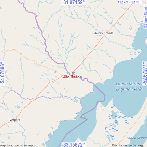
Jaguarão GPS coordinates[2]
32° 33' 57.996" South, 53° 22' 32.988" West
| Map corner | latitude | longitude |
|---|---|---|
| Upper-left | -31.97159°, | -54.07896° |
| Center: | -32.56611°, | -53.37583° |
| Lower-right: | -33.15672°, | -52.67271° |
| Map W x H: | 131.8×131.8 km | = 81.9×81.9mi |
| max Lat: | 2.81972° ⇑99.9% North |
| Jaguarão: | -32.56611° |
| min Lat: | ⇓0.1% South -33.69111° |
| min Long | Jaguarão | max Long |
| -72.89583° | -53.37583° | -32.41083° |
| W 8.9%⇐ | ⇒91.1% E |
Elevation
Elevation of Jaguarão is 19 m = 62 ft, and this is 361.9 m = 1187 ft below average elevation for this country.
| Max E: |
1603 m = 5259 ft | 89.5% |
| Avg. | 380.9 m = 1250 ft | |
| Jaguarão | 19 m = 62 ft | |
Min E: |
0 m = 0 ft | 10.5% |
See also: Brazil elevation on elevation.city.
Geographical zone
Jaguarão is located in South temperate zone (between Tropic of Capricorn and the Antarctic Circle). Distance of this Southern Tropic circle is 1015.1 km =630.8 mi to North.| Distance of | km | miles | from Jaguarão |
|---|---|---|---|
| Equator | 3621 | 2250 | to North |
| Tropic Capricorn | 1015.1 | 630.8 | to North |
| Antarctic Circle | 3780.2 | 2348.9 | to South |
| South Pole | 6386 | 3968.1 | to South |


Nearby cities:
15 places around Jaguarão: (largest is in red/bold)
• Arroio Grande
45.5 km =28.3 mi,  36°
36°
• Bagé
153.6 km =95.4 mi,  333°
333°
• Camaquã
241.3 km =149.9 mi, 37°
• Canguçu
146 km =90.7 mi,  26°
26°
• Caçapava do Sul
228.4 km =141.9 mi,  357°
357°
• Chuí
125.3 km =77.9 mi,  183°
183°
• Dom Pedrito
214.5 km =133.3 mi, 325°
• Encruzilhada do Sul
239 km =148.5 mi,  19°
19°
• Herval
60.3 km =37.5 mi, 358°
• Pelotas
131.6 km =81.8 mi,  47°
47°
• Pinheiro Machado
109.8 km =68.2 mi, 359°
• Rio Grande
133.8 km =83.1 mi,  63°
63°
• Santa Vitória do Palmar
105.9 km =65.8 mi, 179°
• São Gabriel
263.6 km =163.8 mi,  340°
340°
• São Lourenço do Sul
187.6 km =116.6 mi, 44°
Sources, notices
• [Note1] Compared only with cities in Brazil existing in our database
• [Src1] Map data: © OpenStreetMap contributors (CC-BY-SA)
• [Src2] Other city data from geonames.org with taken over terms of usage.
• [Src3] Geographical zone / Annual Mean Temperature by Robert A. Rohde @ Wikipedia
