João Neiva geodata
João Neiva (Espírito Santo) is a populated place; located in Brazil in America/Sao_Paulo (GMT-3) time zone. With population of 10,383 people, there are 1613 cities with bigger population in this country. Compared to other cities in Brazil, 55.6% of cities are located further ↑North; 73.2% of cities are located further ←West and 77.9% of cities have higher elevation than João Neiva. Note1


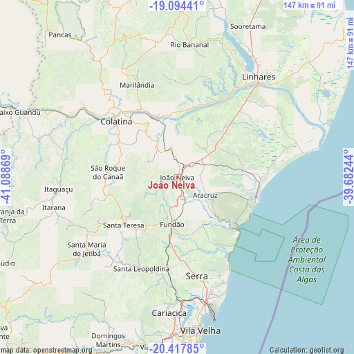
João Neiva GPS coordinates[2]
19° 45' 27" South, 40° 23' 8.016" West
| Map corner | latitude | longitude |
|---|---|---|
| Upper-left | -19.09441°, | -41.08869° |
| Center: | -19.7575°, | -40.38556° |
| Lower-right: | -20.41785°, | -39.68244° |
| Map W x H: | 147.2×147.2 km | = 91.5×91.5mi |
| max Lat: | 2.81972° ⇑55.6% North |
| João Neiva: | -19.7575° |
| min Lat: | ⇓44.4% South -33.69111° |
| min Long | João Neiva | max Long |
| -72.89583° | -40.38556° | -32.41083° |
| W 73.2%⇐ | ⇒26.8% E |
Elevation
Elevation of João Neiva is 57 m = 187 ft, and this is 323.9 m = 1063 ft below average elevation for this country.
| Max E: |
1603 m = 5259 ft | 77.9% |
| Avg. | 380.9 m = 1250 ft | |
| João Neiva | 57 m = 187 ft | |
Min E: |
0 m = 0 ft | 22.1% |
See also: Brazil elevation on elevation.city.
Geographical zone
João Neiva is located in South Torrid zone (between Equator and Tropic of Capricorn). Distance of this Southern Tropic circle is 409.1 km =254.2 mi to South.| Distance of | km | miles | from João Neiva |
|---|---|---|---|
| Equator | 2196.8 | 1365 | to North |
| Tropic Capricorn | 409.1 | 254.2 | to South |
| Antarctic Circle | 5204.3 | 3233.8 | to South |
| South Pole | 7810.2 | 4853 | to South |


Nearby cities:
15 places around João Neiva: (largest is in red/bold)
• Aracruz
13.7 km =8.5 mi,  120°
120°
• Colatina
35.3 km =21.9 mi,  313°
313°
• Fundão
19.7 km =12.2 mi,  185°
185°
• Ibiraçu
8.4 km =5.2 mi,  168°
168°
• Itaguaçu
49.4 km =30.7 mi,  264°
264°
• Itarana
52.8 km =32.8 mi, 255°
• Jetibá
42.6 km =26.5 mi,  226°
226°
• Linhares
52.3 km =32.5 mi,  38°
38°
• Marilândia
41.7 km =25.9 mi,  336°
336°
• Rio Bananal
55 km =34.2 mi,  5°
5°
• Santa Leopoldina
41 km =25.5 mi,  201°
201°
• Santa Maria de Jetibá
48 km =29.8 mi, 231°
• Santa Teresa
29.9 km =18.6 mi, 228°
• Serra
42.1 km =26.2 mi, 168°
• Vitória
62.7 km =39 mi,  175°
175°
Sources, notices
• [Note1] Compared only with cities in Brazil existing in our database
• [Src1] Map data: © OpenStreetMap contributors (CC-BY-SA)
• [Src2] Other city data from geonames.org with taken over terms of usage.
• [Src3] Geographical zone / Annual Mean Temperature by Robert A. Rohde @ Wikipedia
