São Gabriel da Cachoeira geodata
São Gabriel da Cachoeira (Amazonas) is a populated place; located in Brazil in America/Manaus (GMT-4) time zone. With population of 15,231 people, there are 1200 cities with bigger population in this country. Compared to other cities in Brazil, 99.8% of cities are located further ↓South; 98.9% of cities are located further →East and 75.4% of cities have higher elevation than São Gabriel da Cachoeira. Note1
Current local time in São Gabriel da Cachoeira:
12:14 AM, WednesdayDifference from your time zone: hours


São Gabriel da Cachoeira GPS coordinates[2]
0° 7' 5.16" South, 67° 5' 6.972" West
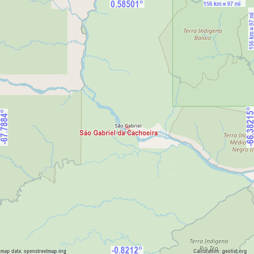
| Map corner | latitude | longitude |
|---|---|---|
| Upper-left | 0.58501°, | -67.7884° |
| Center: | -0.1181°, | -67.08527° |
| Lower-right: | -0.8212°, | -66.38215° |
| Map W x H: | 156.4×156.4 km | = 97.2×97.2mi |
| max Lat: | 2.81972° ⇑0.2% North |
| São Gabriel da Cachoeira: | -0.1181° |
| min Lat: | ⇓99.8% South -33.69111° |
| min Long | São Gabriel da | max Long |
| -72.89583° | -67.08527° | -32.41083° |
| W 1.1%⇐ | ⇒98.9% E |
Elevation
Elevation of São Gabriel da Cachoeira is 74 m = 243 ft, and this is 306.9 m = 1007 ft below average elevation for this country.
| Max E: |
1603 m = 5259 ft | 75.4% |
| Avg. | 380.9 m = 1250 ft | |
| São Gabriel da Cachoeira | 74 m = 243 ft | |
Min E: |
0 m = 0 ft | 24.6% |
See also: Brazil elevation on elevation.city.
Geographical zone
São Gabriel da Cachoeira is located in South Torrid zone (between Equator and Tropic of Capricorn). Distance of Equator is 13.1 km =8.1 mi to North.| Distance of | km | miles | from São Gabriel da Cachoeira |
|---|---|---|---|
| Equator | 13.1 | 8.1 | to North |
| Tropic Capricorn | 2592.8 | 1611.1 | to South |
| Antarctic Circle | 7388 | 4590.7 | to South |
| South Pole | 9993.9 | 6209.9 | to South |


Nearby cities:
8 places around São Gabriel da Cachoeira: (largest is in red/bold)
• Alvarães
428.1 km =266 mi,  143°
143°
• Fonte Boa
288.4 km =179.2 mi,  157°
157°
• Maraã
269.8 km =167.6 mi,  134°
134°
• Santa Isabel do Rio Negro
232.1 km =144.2 mi,  98°
98°
• Santo Antônio do Içá
345.1 km =214.4 mi,  195°
195°
• São Paulo de Olivença
413.3 km =256.8 mi,  208°
208°
• Tonantins
316.5 km =196.7 mi,  194°
194°
• Uarini
387.6 km =240.8 mi,  145°
145°
Sources, notices
• [Note1] Compared only with cities in Brazil existing in our database
• [Src1] Map data: © OpenStreetMap contributors (CC-BY-SA)
• [Src2] Other city data from geonames.org with taken over terms of usage.
• [Src3] Geographical zone / Annual Mean Temperature by Robert A. Rohde @ Wikipedia
