Abraham’s Bay geodata
Abraham’s Bay (Mayaguana) is a seat of a first-order administrative division; located in Bahamas in America/Nassau (GMT-4) time zone. With population of 235 people, there are 18 cities with bigger population in this country. Compared to other cities in Bahamas, 91.7% of cities are located further ↑North; 100% of cities are located further ←West and 58.3% of cities have higher elevation than Abraham’s Bay. Note1


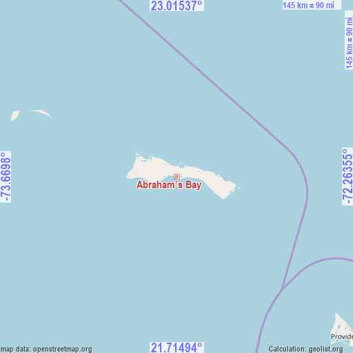
Abraham’s Bay GPS coordinates[2]
22° 22' 0.012" North, 72° 58' 0.012" West
| Map corner | latitude | longitude |
|---|---|---|
| Upper-left | 23.01537°, | -73.6698° |
| Center: | 22.36667°, | -72.96667° |
| Lower-right: | 21.71494°, | -72.26355° |
| Map W x H: | 144.6×144.6 km | = 89.9×89.9mi |
| max Lat: | 26.87137° ⇑91.7% North |
| Abraham’s Bay: | 22.36667° |
| min Lat: | ⇓8.3% South 20.94982° |
| min Long | Abraham’s Bay | max Long |
| -79.29721° | -72.96667° | -72.96667° |
| W 100%⇐ | ⇒0% E |
Elevation
Elevation of Abraham’s Bay is 7 m = 23 ft, and this is 2.5 m = 8 ft below average elevation for this country.
| Max E: |
27 m = 89 ft | 58.3% |
| Avg. | 9.5 m = 31 ft | |
| Abraham’s Bay | 7 m = 23 ft | |
Min E: |
1 m = 3 ft | 41.7% |
See also: Bahamas elevation on elevation.city.
Geographical zone
Abraham’s Bay is located in North Torrid zone (between Equator and Tropic of Cancer). Distance of this Northern Tropic circle is 119 km =73.9 mi to North.| Distance of | km | miles | from Abraham’s Bay |
|---|---|---|---|
| North Pole | 7520.1 | 4672.8 | to North |
| Arctic Circle | 4914.2 | 3053.5 | to North |
| Tropic Cancer | 119 | 73.9 | to North |
| Equator | 2486.9 | 1545.3 | to South |


Nearby cities:
10 places around Abraham’s Bay: (largest is in red/bold)
• Arthur’s Town
372.8 km =231.6 mi,  312°
312°
• Black Point
398.7 km =247.7 mi,  298°
298°
• Clarence Town
222.3 km =138.1 mi,  291°
291°
• Cockburn Town
246.3 km =153 mi,  319°
319°
• Colonel Hill
134.2 km =83.4 mi, 288°
• Duncan Town
284.6 km =176.8 mi,  266°
266°
• George Town
315.8 km =196.2 mi, 293°
• Masons Bay
95.7 km =59.5 mi,  281°
281°
• Matthew Town
173.6 km =107.9 mi,  204°
204°
• Port Nelson
239.1 km =148.6 mi, 306°
Sources, notices
• [Note1] Compared only with cities in Bahamas existing in our database
• [Src1] Map data: © OpenStreetMap contributors (CC-BY-SA)
• [Src2] Other city data from geonames.org with taken over terms of usage.
• [Src3] Geographical zone / Annual Mean Temperature by Robert A. Rohde @ Wikipedia
