Mogapi geodata
Mogapi (Central) is a populated place; located in Botswana in Africa/Gaborone (GMT+2) time zone. With population of 1,917 people, there are 59 cities with bigger population in this country. Compared to other cities in Botswana, 68.6% of cities are located further ↓South; 95.2% of cities are located further ←West and 80% of cities have higher elevation than Mogapi. Note1


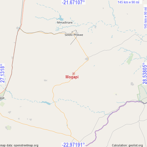
Mogapi GPS coordinates[2]
22° 19' 22.836" South, 27° 50' 5.712" East
| Map corner | latitude | longitude |
|---|---|---|
| Upper-left | -21.67107°, | 27.1318° |
| Center: | -22.32301°, | 27.83492° |
| Lower-right: | -22.97191°, | 28.53805° |
| Map W x H: | 144.6×144.6 km | = 89.9×89.9mi |
| max Lat: | -17.80165° ⇑31.4% North |
| Mogapi: | -22.32301° |
| min Lat: | ⇓68.6% South -26.9° |
| min Long | Mogapi | max Long |
| 20.06667° | 27.83492° | 28.74946° |
| W 95.2%⇐ | ⇒4.8% E |
Elevation
Elevation of Mogapi is 921 m = 3022 ft, and this is 94 m = 308 ft below average elevation for this country.
| Max E: |
1406 m = 4613 ft | 80% |
| Avg. | 1015 m = 3330 ft | |
| Mogapi | 921 m = 3022 ft | |
Min E: |
676 m = 2218 ft | 20% |
See also: Botswana elevation on elevation.city.
Geographical zone
Mogapi is located in South Torrid zone (between Equator and Tropic of Capricorn). Distance of this Southern Tropic circle is 123.8 km =76.9 mi to South.| Distance of | km | miles | from Mogapi |
|---|---|---|---|
| Equator | 2482.1 | 1542.3 | to North |
| Tropic Capricorn | 123.8 | 76.9 | to South |
| Antarctic Circle | 4919.1 | 3056.6 | to South |
| South Pole | 7525 | 4675.8 | to South |


Nearby cities:
15 places around Mogapi: (largest is in red/bold)
• Letsheng
73.3 km =45.5 mi,  238°
238°
• Maapi
69.4 km =43.1 mi,  225°
225°
• Makobeng
76.8 km =47.7 mi,  192°
192°
• Malaka
61.3 km =38.1 mi, 237°
• Mathakola
69.7 km =43.3 mi, 230°
• Maunatlala
37 km =23 mi,  214°
214°
• Mogapinyana
24.6 km =15.3 mi,  258°
258°
• Moremi
48.3 km =30 mi, 234°
• Palapye
77.1 km =47.9 mi,  251°
251°
• Ramokgonami
73.5 km =45.7 mi,  215°
215°
• Ratholo
52.2 km =32.4 mi, 211°
• Sefophe
20.6 km =12.8 mi,  41°
41°
• Selebi-Phikwe
38.3 km =23.8 mi,  1°
1°
• Tamasane
45.8 km =28.5 mi, 256°
• Tobane
42 km =26.1 mi,  9°
9°
Sources, notices
• [Note1] Compared only with cities in Botswana existing in our database
• [Src1] Map data: © OpenStreetMap contributors (CC-BY-SA)
• [Src2] Other city data from geonames.org with taken over terms of usage.
• [Src3] Geographical zone / Annual Mean Temperature by Robert A. Rohde @ Wikipedia
