Pemberton geodata
Pemberton (British Columbia) is a populated place; located in Canada in America/Vancouver (GMT-7) time zone. With population of 2,192 people, there are 720 cities with bigger population in this country. Compared to other cities in Canada, 78.2% of cities are located further ↓South; 92.4% of cities are located further →East and 56.9% of cities have lower elevation than Pemberton. Note1
Administrative division(s):
- Level 1: British Columbia
- Level 2: Squamish-Lillooet Regional District
- Level 3: Pemberton


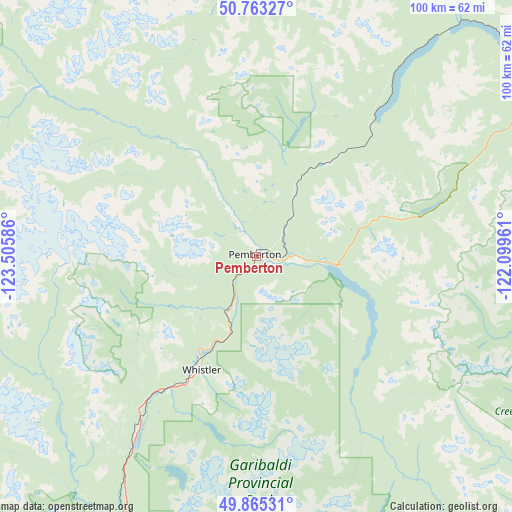
Pemberton GPS coordinates[2]
50° 18' 59.076" North, 122° 48' 9.828" West
| Map corner | latitude | longitude |
|---|---|---|
| Upper-left | 50.76327°, | -123.50586° |
| Center: | 50.31641°, | -122.80273° |
| Lower-right: | 49.86531°, | -122.09961° |
| Map W x H: | 99.8×99.8 km | = 62×62mi |
| max Lat: | 73.03752° ⇑21.8% North |
| Pemberton: | 50.31641° |
| min Lat: | ⇓78.2% South 42.05009° |
| min Long | Pemberton | max Long |
| -139.43328° | -122.80273° | -52.70931° |
| W 7.6%⇐ | ⇒92.4% E |
Elevation
Elevation of Pemberton is 211 m = 692 ft, and this is 43.4 m = 142 ft below average elevation for this country.
| Max E: |
1518 m = 4980 ft | 43.1% |
| Avg. | 254.4 m = 835 ft | |
| Pemberton | 211 m = 692 ft | |
Min E: |
-2 m = -7 ft | 56.9% |
See also: Canada elevation on elevation.city.
Geographical zone
Pemberton is located in North temperate zone (between Tropic of Cancer and the Arctic Circle). Distance of this North polar circle is 1806.5 km =1122.5 mi to North.| Distance of | km | miles | from Pemberton |
|---|---|---|---|
| North Pole | 4412.4 | 2741.7 | to North |
| Arctic Circle | 1806.5 | 1122.5 | to North |
| Tropic Cancer | 2988.7 | 1857.1 | to South |
| Equator | 5594.7 | 3476.4 | to South |


Nearby cities:
15 places around Pemberton: (largest is in red/bold)
• Anmore
111.3 km =69.2 mi,  181°
181°
• Ashcroft
116.7 km =72.5 mi,  67°
67°
• Bowen Island
110.4 km =68.6 mi,  200°
200°
• Coquitlam
114.7 km =71.3 mi, 179°
• Gibsons
114.1 km =70.9 mi,  206°
206°
• Lillooet
73.4 km =45.6 mi,  56°
56°
• Lions Bay
101 km =62.8 mi, 197°
• Mount Currie 6
10 km =6.2 mi,  81°
81°
• North Vancouver
112.8 km =70.1 mi,  189°
189°
• Port Moody
115.1 km =71.5 mi, 180°
• Sechelt
115.9 km =72 mi,  216°
216°
• South Pender Harbour
116.6 km =72.5 mi,  228°
228°
• Squamish
73.1 km =45.4 mi, 200°
• West Vancouver
108.8 km =67.6 mi, 193°
• Whistler
24.5 km =15.2 mi, 206°
Sources, notices
• [Note1] Compared only with cities in Canada existing in our database
• [Src1] Map data: © OpenStreetMap contributors (CC-BY-SA)
• [Src2] Other city data from geonames.org with taken over terms of usage.
• [Src3] Geographical zone / Annual Mean Temperature by Robert A. Rohde @ Wikipedia
