Springhill geodata
Springhill (Nova Scotia) is a populated place; located in Canada in America/Halifax (GMT-3) time zone. With population of 3,940 people, there are 538 cities with bigger population in this country. Compared to other cities in Canada, 70.3% of cities are located further ↑North; 93.9% of cities are located further ←West and 54% of cities have lower elevation than Springhill. Note1


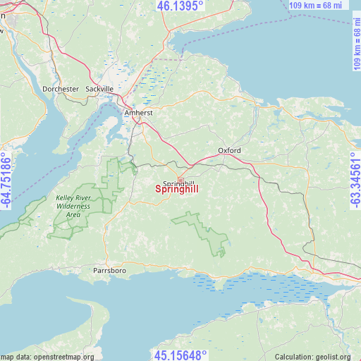
Springhill GPS coordinates[2]
45° 39' 0.54" North, 64° 2' 55.428" West
| Map corner | latitude | longitude |
|---|---|---|
| Upper-left | 46.1395°, | -64.75186° |
| Center: | 45.65015°, | -64.04873° |
| Lower-right: | 45.15648°, | -63.34561° |
| Map W x H: | 109.3×109.3 km | = 67.9×67.9mi |
| max Lat: | 73.03752° ⇑70.3% North |
| Springhill: | 45.65015° |
| min Lat: | ⇓29.7% South 42.05009° |
| min Long | Springhill | max Long |
| -139.43328° | -64.04873° | -52.70931° |
| W 93.9%⇐ | ⇒6.1% E |
Elevation
Elevation of Springhill is 192 m = 630 ft, and this is 62.4 m = 205 ft below average elevation for this country.
| Max E: |
1518 m = 4980 ft | 46% |
| Avg. | 254.4 m = 835 ft | |
| Springhill | 192 m = 630 ft | |
Min E: |
-2 m = -7 ft | 54% |
See also: Canada elevation on elevation.city.
Geographical zone
Springhill is located in North temperate zone (between Tropic of Cancer and the Arctic Circle). Distance of this North polar circle is 2325.4 km =1444.9 mi to North.| Distance of | km | miles | from Springhill |
|---|---|---|---|
| North Pole | 4931.2 | 3064.1 | to North |
| Arctic Circle | 2325.4 | 1444.9 | to North |
| Tropic Cancer | 2469.9 | 1534.7 | to South |
| Equator | 5075.8 | 3154 | to South |


Nearby cities:
15 places around Springhill: (largest is in red/bold)
• Amherst
23.5 km =14.6 mi,  330°
330°
• Dieppe
68.6 km =42.6 mi,  313°
313°
• Greater Lakeburn
67.4 km =41.9 mi, 314°
• Hantsport
65.5 km =40.7 mi,  188°
188°
• Haute-Aboujagane
61.7 km =38.3 mi, 333°
• Kentville
72.7 km =45.2 mi,  208°
208°
• Middleton
67.9 km =42.2 mi,  83°
83°
• Oxford
17 km =10.6 mi,  56°
56°
• Parrsboro
34.7 km =21.6 mi,  218°
218°
• Point de Bute
31.6 km =19.6 mi, 331°
• Port Williams
67.5 km =41.9 mi, 205°
• Sackville
39.6 km =24.6 mi,  318°
318°
• Shediac
73.9 km =45.9 mi, 328°
• Truro
68.7 km =42.7 mi,  117°
117°
• Wolfville
67.7 km =42.1 mi,  201°
201°
Sources, notices
• [Note1] Compared only with cities in Canada existing in our database
• [Src1] Map data: © OpenStreetMap contributors (CC-BY-SA)
• [Src2] Other city data from geonames.org with taken over terms of usage.
• [Src3] Geographical zone / Annual Mean Temperature by Robert A. Rohde @ Wikipedia
