Temiskaming Shores geodata
Temiskaming Shores (Ontario) is a populated place; located in Canada in America/Toronto (GMT-4) time zone. With population of 10,442 people, there are 303 cities with bigger population in this country. Compared to other cities in Canada, 50.8% of cities are located further ↓South; 54.2% of cities are located further →East and 63.5% of cities have lower elevation than Temiskaming Shores. Note1


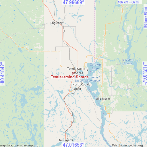
Temiskaming Shores GPS coordinates[2]
47° 29' 37.536" North, 79° 42' 55.044" West
| Map corner | latitude | longitude |
|---|---|---|
| Upper-left | 47.96669°, | -80.41842° |
| Center: | 47.49376°, | -79.71529° |
| Lower-right: | 47.01653°, | -79.01217° |
| Map W x H: | 105.6×105.6 km | = 65.6×65.6mi |
| max Lat: | 73.03752° ⇑49.2% North |
| Temiskaming Shores: | 47.49376° |
| min Lat: | ⇓50.8% South 42.05009° |
| min Long | Temiskaming Sho | max Long |
| -139.43328° | -79.71529° | -52.70931° |
| W 45.8%⇐ | ⇒54.2% E |
Elevation
Elevation of Temiskaming Shores is 248 m = 814 ft, and this is 6.4 m = 21 ft below average elevation for this country.
| Max E: |
1518 m = 4980 ft | 36.5% |
| Avg. | 254.4 m = 835 ft | |
| Temiskaming Shores | 248 m = 814 ft | |
Min E: |
-2 m = -7 ft | 63.5% |
See also: Canada elevation on elevation.city.
Geographical zone
Temiskaming Shores is located in North temperate zone (between Tropic of Cancer and the Arctic Circle). Distance of this North polar circle is 2120.4 km =1317.6 mi to North.| Distance of | km | miles | from Temiskaming Shores |
|---|---|---|---|
| North Pole | 4726.3 | 2936.8 | to North |
| Arctic Circle | 2120.4 | 1317.6 | to North |
| Tropic Cancer | 2674.9 | 1662.1 | to South |
| Equator | 5280.8 | 3281.3 | to South |


Nearby cities:
15 places around Temiskaming Shores: (largest is in red/bold)
• Azilda
148.4 km =92.2 mi,  225°
225°
• Cache Bay
126.9 km =78.9 mi,  189°
189°
• Capreol
126.5 km =78.6 mi, 226°
• Englehart
37.7 km =23.4 mi,  342°
342°
• Greater Sudbury
147.7 km =91.8 mi,  220°
220°
• Kirkland Lake
76.3 km =47.4 mi, 341°
• Malartic
137.9 km =85.7 mi,  58°
58°
• North Bay
132.2 km =82.1 mi,  171°
171°
• Notre-Dame-du-Lac
96.8 km =60.1 mi,  148°
148°
• Rouyn-Noranda
97.4 km =60.5 mi,  32°
32°
• Saint-Bruno-de-Guigues
21.4 km =13.3 mi,  98°
98°
• Saint-Isidore
32 km =19.9 mi, 102°
• Témiscaming
97.8 km =60.8 mi, 151°
• Valley East
133.8 km =83.1 mi, 226°
• Ville-Marie
27.7 km =17.2 mi,  130°
130°
Sources, notices
• [Note1] Compared only with cities in Canada existing in our database
• [Src1] Map data: © OpenStreetMap contributors (CC-BY-SA)
• [Src2] Other city data from geonames.org with taken over terms of usage.
• [Src3] Geographical zone / Annual Mean Temperature by Robert A. Rohde @ Wikipedia
