Cache Bay geodata
Cache Bay (Ontario) is a populated place; located in Canada in America/Toronto (GMT-4) time zone. With population of 641 people, there are 1136 cities with bigger population in this country. Compared to other cities in Canada, 56.6% of cities are located further ↑North; 55.3% of cities are located further →East and 54.7% of cities have lower elevation than Cache Bay. Note1


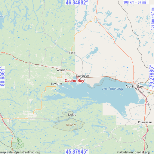
Cache Bay GPS coordinates[2]
46° 22' 0.444" North, 79° 58' 58.692" West
| Map corner | latitude | longitude |
|---|---|---|
| Upper-left | 46.84982°, | -80.6861° |
| Center: | 46.36679°, | -79.98297° |
| Lower-right: | 45.87945°, | -79.27985° |
| Map W x H: | 107.9×107.9 km | = 67×67mi |
| max Lat: | 73.03752° ⇑56.6% North |
| Cache Bay: | 46.36679° |
| min Lat: | ⇓43.4% South 42.05009° |
| min Long | Cache Bay | max Long |
| -139.43328° | -79.98297° | -52.70931° |
| W 44.7%⇐ | ⇒55.3% E |
Elevation
Elevation of Cache Bay is 198 m = 650 ft, and this is 56.4 m = 185 ft below average elevation for this country.
| Max E: |
1518 m = 4980 ft | 45.3% |
| Avg. | 254.4 m = 835 ft | |
| Cache Bay | 198 m = 650 ft | |
Min E: |
-2 m = -7 ft | 54.7% |
See also: Canada elevation on elevation.city.
Geographical zone
Cache Bay is located in North temperate zone (between Tropic of Cancer and the Arctic Circle). Distance of this North polar circle is 2245.7 km =1395.4 mi to North.| Distance of | km | miles | from Cache Bay |
|---|---|---|---|
| North Pole | 4851.6 | 3014.6 | to North |
| Arctic Circle | 2245.7 | 1395.4 | to North |
| Tropic Cancer | 2549.6 | 1584.2 | to South |
| Equator | 5155.5 | 3203.5 | to South |


Nearby cities:
15 places around Cache Bay: (largest is in red/bold)
• Azilda
87.9 km =54.6 mi,  283°
283°
• Capreol
81.1 km =50.4 mi,  297°
297°
• Dowling
106.8 km =66.4 mi, 283°
• Greater Sudbury
78.4 km =48.7 mi, 280°
• Lively
89.8 km =55.8 mi,  274°
274°
• Mattawa
98.7 km =61.3 mi,  93°
93°
• North Bay
40 km =24.9 mi,  97°
97°
• Notre-Dame-du-Lac
83.1 km =51.6 mi,  59°
59°
• Parry Sound
113.4 km =70.5 mi,  182°
182°
• Powassan
61.2 km =38 mi,  127°
127°
• Rayside-Balfour
97.5 km =60.6 mi,  286°
286°
• South River
75.2 km =46.7 mi,  142°
142°
• Témiscaming
78.4 km =48.7 mi, 59°
• Valley East
84.7 km =52.6 mi, 293°
• Ville-Marie
115.3 km =71.6 mi,  21°
21°
Sources, notices
• [Note1] Compared only with cities in Canada existing in our database
• [Src1] Map data: © OpenStreetMap contributors (CC-BY-SA)
• [Src2] Other city data from geonames.org with taken over terms of usage.
• [Src3] Geographical zone / Annual Mean Temperature by Robert A. Rohde @ Wikipedia
