Zemio geodata
Zemio (Haut-Mbomou) is a populated place; located in Central African Republic in Africa/Bangui (GMT+1) time zone. With population of 14,000 people, there are 21 cities with bigger population in this country. Compared to other cities in Central African Republic, 51.4% of cities are located further ↓South; 97.1% of cities are located further ←West and 74.3% of cities have lower elevation than Zemio. Note1


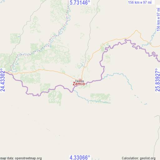
Zemio GPS coordinates[2]
5° 1' 53.184" North, 25° 8' 10.104" East
| Map corner | latitude | longitude |
|---|---|---|
| Upper-left | 5.73146°, | 24.43302° |
| Center: | 5.03144°, | 25.13614° |
| Lower-right: | 4.33066°, | 25.83927° |
| Map W x H: | 155.8×155.8 km | = 96.8×96.8mi |
| max Lat: | 10.28488° ⇑48.6% North |
| Zemio: | 5.03144° |
| min Lat: | ⇓51.4% South 3.52494° |
| min Long | Zemio | max Long |
| 15.13926° | 25.13614° | 26.49211° |
| W 97.1%⇐ | ⇒2.9% E |
Elevation
Elevation of Zemio is 579 m = 1900 ft, and this is 73.7 m = 242 ft above average elevation for this country.
| Max E: |
976 m = 3202 ft | 25.7% |
| Zemio | 579 m 1900 ft | |
| Avg. | 505.3 m = 1658 ft | |
Min E: |
351 m = 1152 ft | 74.3% |
See also: Central African Republic elevation on elevation.city.
Geographical zone
Zemio is located in North Torrid zone (between Equator and Tropic of Cancer). Distance of Equator is 559.4 km =347.6 mi to South.| Distance of | km | miles | from Zemio |
|---|---|---|---|
| North Pole | 9447.6 | 5870.5 | to North |
| Arctic Circle | 6841.7 | 4251.2 | to North |
| Tropic Cancer | 2046.5 | 1271.6 | to North |
| Equator | 559.4 | 347.6 | to South |


Nearby cities:
7 places around Zemio: (largest is in red/bold)
• Alindao
435 km =270.3 mi,  269°
269°
• Bangassou
258.8 km =160.8 mi,  262°
262°
• Bria
386.8 km =240.3 mi,  295°
295°
• Gambo
321.1 km =199.5 mi, 262°
• Kembé
362.9 km =225.5 mi, 262°
• Obo
155.5 km =96.6 mi,  74°
74°
• Ouango
297 km =184.5 mi,  254°
254°
Sources, notices
• [Note1] Compared only with cities in Central African Republic existing in our database
• [Src1] Map data: © OpenStreetMap contributors (CC-BY-SA)
• [Src2] Other city data from geonames.org with taken over terms of usage.
• [Src3] Geographical zone / Annual Mean Temperature by Robert A. Rohde @ Wikipedia
