Bangassou geodata
Bangassou (Mbomou) is a seat of a first-order administrative division; located in Central African Republic in Africa/Bangui (GMT+1) time zone. With population of 24,361 people, there are 13 cities with bigger population in this country. Compared to other cities in Central African Republic, 65.7% of cities are located further ↑North; 94.3% of cities are located further ←West and 60% of cities have lower elevation than Bangassou. Note1


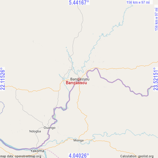
Bangassou GPS coordinates[2]
4° 44' 28.752" North, 22° 49' 6.168" East
| Map corner | latitude | longitude |
|---|---|---|
| Upper-left | 5.44167°, | 22.11526° |
| Center: | 4.74132°, | 22.81838° |
| Lower-right: | 4.04026°, | 23.52151° |
| Map W x H: | 155.8×155.8 km | = 96.8×96.8mi |
| max Lat: | 10.28488° ⇑65.7% North |
| Bangassou: | 4.74132° |
| min Lat: | ⇓34.3% South 3.52494° |
| min Long | Bangassou | max Long |
| 15.13926° | 22.81838° | 26.49211° |
| W 94.3%⇐ | ⇒5.7% E |
Elevation
Elevation of Bangassou is 506 m = 1660 ft, and this is 0.69999999999999 m = 2 ft above average elevation for this country.
| Max E: |
976 m = 3202 ft | 40% |
| Bangassou | 506 m 1660 ft | |
| Avg. | 505.3 m = 1658 ft | |
Min E: |
351 m = 1152 ft | 60% |
See also: Central African Republic elevation on elevation.city.
Geographical zone
Bangassou is located in North Torrid zone (between Equator and Tropic of Cancer). Distance of Equator is 527.2 km =327.6 mi to South.| Distance of | km | miles | from Bangassou |
|---|---|---|---|
| North Pole | 9479.9 | 5890.5 | to North |
| Arctic Circle | 6874 | 4271.3 | to North |
| Tropic Cancer | 2078.7 | 1291.6 | to North |
| Equator | 527.2 | 327.6 | to South |


Nearby cities:
13 places around Bangassou: (largest is in red/bold)
• Alindao
181.1 km =112.5 mi,  280°
280°
• Bambari
263.3 km =163.6 mi,  295°
295°
• Bria
220.4 km =137 mi,  335°
335°
• Gambo
62.4 km =38.8 mi,  260°
260°
• Ippy
244.8 km =152.1 mi,  313°
313°
• Kembé
104.1 km =64.7 mi, 262°
• Kouango
317.7 km =197.4 mi, 275°
• Mobaye
187.7 km =116.6 mi, 255°
• Obo
413.3 km =256.8 mi,  79°
79°
• Ouadda
373.8 km =232.3 mi,  352°
352°
• Ouango
55.8 km =34.7 mi,  211°
211°
• Sibut
428.6 km =266.3 mi, 284°
• Zemio
258.8 km =160.8 mi, 82°
Sources, notices
• [Note1] Compared only with cities in Central African Republic existing in our database
• [Src1] Map data: © OpenStreetMap contributors (CC-BY-SA)
• [Src2] Other city data from geonames.org with taken over terms of usage.
• [Src3] Geographical zone / Annual Mean Temperature by Robert A. Rohde @ Wikipedia
