Kembé geodata
Kembé (Basse-Kotto) is a populated place; located in Central African Republic in Africa/Bangui (GMT+1) time zone. With population of 11,513 people, there are 26 cities with bigger population in this country. Compared to other cities in Central African Republic, 71.4% of cities are located further ↑North; 77.1% of cities are located further ←West and 57.1% of cities have lower elevation than Kembé. Note1


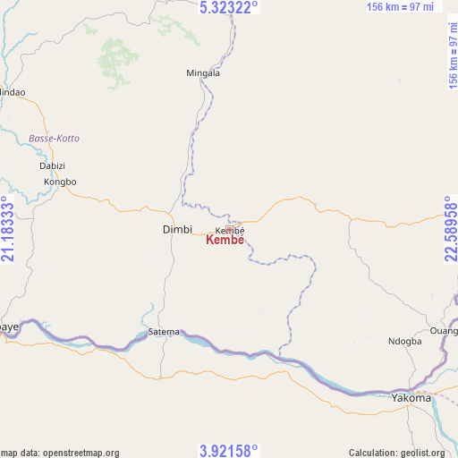
Kembé GPS coordinates[2]
4° 37' 21.9" North, 21° 53' 11.22" East
| Map corner | latitude | longitude |
|---|---|---|
| Upper-left | 5.32322°, | 21.18333° |
| Center: | 4.62275°, | 21.88645° |
| Lower-right: | 3.92158°, | 22.58958° |
| Map W x H: | 155.8×155.9 km | = 96.8×96.9mi |
| max Lat: | 10.28488° ⇑71.4% North |
| Kembé: | 4.62275° |
| min Lat: | ⇓28.6% South 3.52494° |
| min Long | Kembé | max Long |
| 15.13926° | 21.88645° | 26.49211° |
| W 77.1%⇐ | ⇒22.9% E |
Elevation
Elevation of Kembé is 499 m = 1637 ft, and this is 6.3 m = 21 ft below average elevation for this country.
| Max E: |
976 m = 3202 ft | 42.9% |
| Avg. | 505.3 m = 1658 ft | |
| Kembé | 499 m = 1637 ft | |
Min E: |
351 m = 1152 ft | 57.1% |
See also: Central African Republic elevation on elevation.city.
Geographical zone
Kembé is located in North Torrid zone (between Equator and Tropic of Cancer). Distance of Equator is 514 km =319.4 mi to South.| Distance of | km | miles | from Kembé |
|---|---|---|---|
| North Pole | 9493.1 | 5898.7 | to North |
| Arctic Circle | 6887.2 | 4279.5 | to North |
| Tropic Cancer | 2091.9 | 1299.8 | to North |
| Equator | 514 | 319.4 | to South |


Nearby cities:
15 places around Kembé: (largest is in red/bold)
• Alindao
87.5 km =54.4 mi,  300°
300°
• Bambari
184.9 km =114.9 mi,  313°
313°
• Bangassou
104.1 km =64.7 mi,  82°
82°
• Bangui
370.4 km =230.2 mi,  265°
265°
• Bimbo
386.9 km =240.4 mi,  263°
263°
• Bria
213.7 km =132.8 mi,  2°
2°
• Damara
354.7 km =220.4 mi,  276°
276°
• Gambo
41.9 km =26 mi,  86°
86°
• Ippy
197 km =122.4 mi,  338°
338°
• Kouango
217.2 km =135 mi, 280°
• Mobaye
85.4 km =53.1 mi,  246°
246°
• Mongoumba
381.1 km =236.8 mi, 253°
• Ouango
81.7 km =50.8 mi,  114°
114°
• Sibut
334.4 km =207.8 mi,  291°
291°
• Zemio
362.9 km =225.5 mi, 82°
Sources, notices
• [Note1] Compared only with cities in Central African Republic existing in our database
• [Src1] Map data: © OpenStreetMap contributors (CC-BY-SA)
• [Src2] Other city data from geonames.org with taken over terms of usage.
• [Src3] Geographical zone / Annual Mean Temperature by Robert A. Rohde @ Wikipedia
