Zunzgen geodata
Zunzgen (Basel-Landschaft) is a seat of a third-order administrative division; located in Switzerland in Europe/Zurich (GMT+2) time zone. With population of 2,632 people, there are 667 cities with bigger population in this country. Compared to other cities in Switzerland, 82.3% of cities are located further ↓South; 65.3% of cities are located further →East and 88.9% of cities have higher elevation than Zunzgen. Note1


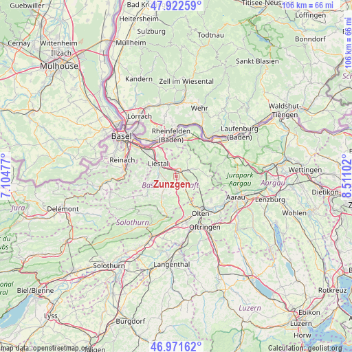
Zunzgen GPS coordinates[2]
47° 26' 57.3" North, 7° 48' 28.404" East
| Map corner | latitude | longitude |
|---|---|---|
| Upper-left | 47.92259°, | 7.10477° |
| Center: | 47.44925°, | 7.80789° |
| Lower-right: | 46.97162°, | 8.51102° |
| Map W x H: | 105.7×105.7 km | = 65.7×65.7mi |
| max Lat: | 47.76737° ⇑17.7% North |
| Zunzgen: | 47.44925° |
| min Lat: | ⇓82.3% South 45.83203° |
| min Long | Zunzgen | max Long |
| 5.97153° | 7.80789° | 10.44624° |
| W 34.7%⇐ | ⇒65.3% E |
Elevation
Elevation of Zunzgen is 399 m = 1309 ft, and this is 159.2 m = 522 ft below average elevation for this country.
| Max E: |
1845 m = 6053 ft | 88.9% |
| Avg. | 558.2 m = 1831 ft | |
| Zunzgen | 399 m = 1309 ft | |
Min E: |
197 m = 646 ft | 11.1% |
See also: Switzerland elevation on elevation.city.
Geographical zone
Zunzgen is located in North temperate zone (between Tropic of Cancer and the Arctic Circle). Distance of this North polar circle is 2125.3 km =1320.6 mi to North.| Distance of | km | miles | from Zunzgen |
|---|---|---|---|
| North Pole | 4731.2 | 2939.8 | to North |
| Arctic Circle | 2125.3 | 1320.6 | to North |
| Tropic Cancer | 2669.9 | 1659 | to South |
| Equator | 5275.9 | 3278.3 | to South |


Nearby cities:
15 places around Zunzgen: (largest is in red/bold)
• Bubendorf
5.3 km =3.3 mi,  265°
265°
• Buckten
5.2 km =3.2 mi,  147°
147°
• Diegten
3.9 km =2.4 mi,  176°
176°
• Gelterkinden
3.7 km =2.3 mi,  62°
62°
• Hölstein
4.1 km =2.5 mi,  223°
223°
• Itingen
2.6 km =1.6 mi,  318°
318°
• Känerkinden
4.7 km =2.9 mi, 152°
• Lausen
4.3 km =2.7 mi,  304°
304°
• Liestal
6.8 km =4.2 mi,  305°
305°
• Ormalingen
5.3 km =3.3 mi,  65°
65°
• Rünenberg
5.9 km =3.7 mi,  107°
107°
• Seltisberg
6.7 km =4.2 mi,  282°
282°
• Sissach
1.7 km =1.1 mi,  2°
2°
• Tecknau
5.8 km =3.6 mi,  90°
90°
• Tenniken
1.4 km =0.9 mi,  168°
168°
Sources, notices
• [Note1] Compared only with cities in Switzerland existing in our database
• [Src1] Map data: © OpenStreetMap contributors (CC-BY-SA)
• [Src2] Other city data from geonames.org with taken over terms of usage.
• [Src3] Geographical zone / Annual Mean Temperature by Robert A. Rohde @ Wikipedia
