Känerkinden geodata
Känerkinden (Basel-Landschaft) is a seat of a third-order administrative division; located in Switzerland in Europe/Zurich (GMT+2) time zone. In our database, there are 1823 cities with bigger population. Compared to other cities in Switzerland, 76.3% of cities are located further ↓South; 64.5% of cities are located further →East and 65.4% of cities have lower elevation than Känerkinden. Note1


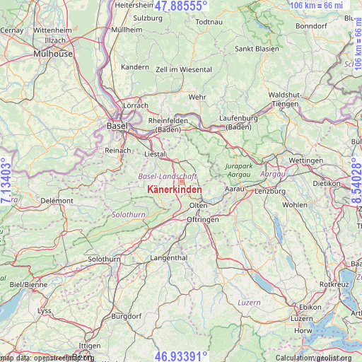
Känerkinden GPS coordinates[2]
47° 24' 42.768" North, 7° 50' 13.776" East
| Map corner | latitude | longitude |
|---|---|---|
| Upper-left | 47.88555°, | 7.13403° |
| Center: | 47.41188°, | 7.83716° |
| Lower-right: | 46.93391°, | 8.54028° |
| Map W x H: | 105.8×105.8 km | = 65.7×65.7mi |
| max Lat: | 47.76737° ⇑23.7% North |
| Känerkinden: | 47.41188° |
| min Lat: | ⇓76.3% South 45.83203° |
| min Long | Känerkinden | max Long |
| 5.97153° | 7.83716° | 10.44624° |
| W 35.5%⇐ | ⇒64.5% E |
Elevation
Elevation of Känerkinden is 548 m = 1798 ft, and this is 10.2 m = 33 ft below average elevation for this country.
| Max E: |
1845 m = 6053 ft | 34.6% |
| Avg. | 558.2 m = 1831 ft | |
| Känerkinden | 548 m = 1798 ft | |
Min E: |
197 m = 646 ft | 65.4% |
See also: Switzerland elevation on elevation.city.
Geographical zone
Känerkinden is located in North temperate zone (between Tropic of Cancer and the Arctic Circle). Distance of this North polar circle is 2129.5 km =1323.2 mi to North.| Distance of | km | miles | from Känerkinden |
|---|---|---|---|
| North Pole | 4735.4 | 2942.4 | to North |
| Arctic Circle | 2129.5 | 1323.2 | to North |
| Tropic Cancer | 2665.8 | 1656.5 | to South |
| Equator | 5271.7 | 3275.7 | to South |


Nearby cities:
15 places around Känerkinden: (largest is in red/bold)
• Buckten
0.6 km =0.4 mi,  110°
110°
• Diegten
2 km =1.2 mi,  276°
276°
• Gelterkinden
6 km =3.7 mi,  10°
10°
• Hölstein
5.2 km =3.2 mi, 283°
• Itingen
7.2 km =4.5 mi,  327°
327°
• Läufelfingen
2.4 km =1.5 mi,  143°
143°
• Oberdorf
6.7 km =4.2 mi,  252°
252°
• Ormalingen
6.9 km =4.3 mi,  22°
22°
• Rünenberg
4.2 km =2.6 mi,  54°
54°
• Sissach
6.2 km =3.9 mi,  339°
339°
• Tecknau
5.5 km =3.4 mi,  40°
40°
• Tenniken
3.4 km =2.1 mi, 325°
• Trimbach
6.4 km =4 mi, 144°
• Zeglingen
5.2 km =3.2 mi,  83°
83°
• Zunzgen
4.7 km =2.9 mi, 332°
Sources, notices
• [Note1] Compared only with cities in Switzerland existing in our database
• [Src1] Map data: © OpenStreetMap contributors (CC-BY-SA)
• [Src2] Other city data from geonames.org with taken over terms of usage.
• [Src3] Geographical zone / Annual Mean Temperature by Robert A. Rohde @ Wikipedia
