Sissach geodata
Sissach (Basel-Landschaft) is a seat of a second-order administrative division; located in Switzerland in Europe/Zurich (GMT+2) time zone. With population of 5,873 people, there are 282 cities with bigger population in this country. Compared to other cities in Switzerland, 84.2% of cities are located further ↓South; 65.2% of cities are located further →East and 93.8% of cities have higher elevation than Sissach. Note1


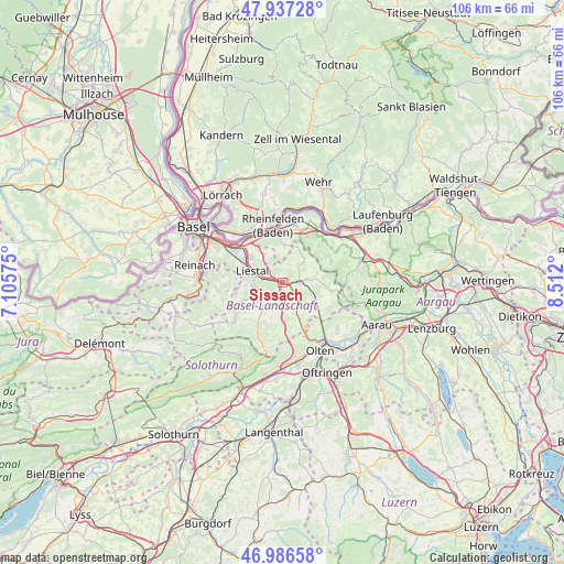
Sissach GPS coordinates[2]
47° 27' 50.688" North, 7° 48' 31.968" East
| Map corner | latitude | longitude |
|---|---|---|
| Upper-left | 47.93728°, | 7.10575° |
| Center: | 47.46408°, | 7.80888° |
| Lower-right: | 46.98658°, | 8.512° |
| Map W x H: | 105.7×105.7 km | = 65.7×65.7mi |
| max Lat: | 47.76737° ⇑15.8% North |
| Sissach: | 47.46408° |
| min Lat: | ⇓84.2% South 45.83203° |
| min Long | Sissach | max Long |
| 5.97153° | 7.80888° | 10.44624° |
| W 34.8%⇐ | ⇒65.2% E |
Elevation
Elevation of Sissach is 374 m = 1227 ft, and this is 184.2 m = 604 ft below average elevation for this country.
| Max E: |
1845 m = 6053 ft | 93.8% |
| Avg. | 558.2 m = 1831 ft | |
| Sissach | 374 m = 1227 ft | |
Min E: |
197 m = 646 ft | 6.2% |
See also: Switzerland elevation on elevation.city.
Geographical zone
Sissach is located in North temperate zone (between Tropic of Cancer and the Arctic Circle). Distance of this North polar circle is 2123.7 km =1319.6 mi to North.| Distance of | km | miles | from Sissach |
|---|---|---|---|
| North Pole | 4729.6 | 2938.8 | to North |
| Arctic Circle | 2123.7 | 1319.6 | to North |
| Tropic Cancer | 2671.6 | 1660.1 | to South |
| Equator | 5277.5 | 3279.3 | to South |


Nearby cities:
15 places around Sissach: (largest is in red/bold)
• Arisdorf
6.4 km =4 mi,  328°
328°
• Bubendorf
5.7 km =3.5 mi,  249°
249°
• Buus
6.3 km =3.9 mi,  41°
41°
• Diegten
5.6 km =3.5 mi,  178°
178°
• Gelterkinden
3.2 km =2 mi,  88°
88°
• Hölstein
5.4 km =3.4 mi,  212°
212°
• Itingen
1.8 km =1.1 mi,  278°
278°
• Känerkinden
6.2 km =3.9 mi,  159°
159°
• Lausen
3.7 km =2.3 mi, 282°
• Liestal
6 km =3.7 mi,  292°
292°
• Ormalingen
4.8 km =3 mi,  82°
82°
• Rünenberg
6.5 km =4 mi,  121°
121°
• Tecknau
6 km =3.7 mi,  106°
106°
• Tenniken
3 km =1.9 mi, 176°
• Zunzgen
1.7 km =1.1 mi, 182°
Sources, notices
• [Note1] Compared only with cities in Switzerland existing in our database
• [Src1] Map data: © OpenStreetMap contributors (CC-BY-SA)
• [Src2] Other city data from geonames.org with taken over terms of usage.
• [Src3] Geographical zone / Annual Mean Temperature by Robert A. Rohde @ Wikipedia
