Arbon geodata
Arbon (Thurgau) is a seat of a second-order administrative division; located in Switzerland in Europe/Zurich (GMT+2) time zone. With population of 12,933 people, there are 102 cities with bigger population in this country. Compared to other cities in Switzerland, 91.6% of cities are located further ↓South; 95.6% of cities are located further ←West and 85.9% of cities have higher elevation than Arbon. Note1


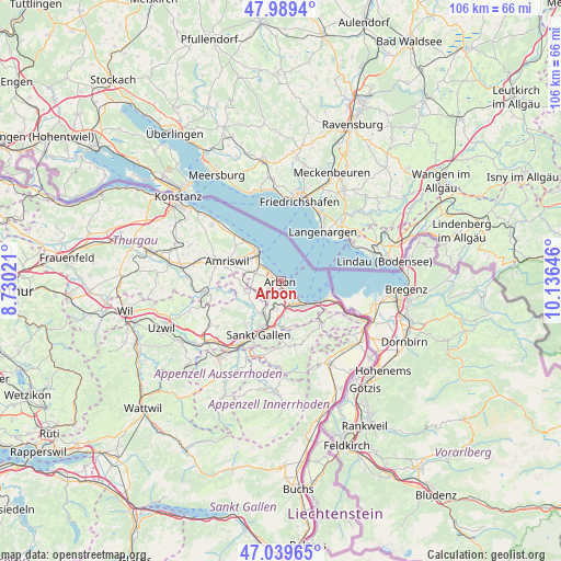
Arbon GPS coordinates[2]
47° 31' 0.012" North, 9° 25' 59.988" East
| Map corner | latitude | longitude |
|---|---|---|
| Upper-left | 47.9894°, | 8.73021° |
| Center: | 47.51667°, | 9.43333° |
| Lower-right: | 47.03965°, | 10.13646° |
| Map W x H: | 105.6×105.6 km | = 65.6×65.6mi |
| max Lat: | 47.76737° ⇑8.4% North |
| Arbon: | 47.51667° |
| min Lat: | ⇓91.6% South 45.83203° |
| min Long | Arbon | max Long |
| 5.97153° | 9.43333° | 10.44624° |
| W 95.6%⇐ | ⇒4.4% E |
Elevation
Elevation of Arbon is 408 m = 1339 ft, and this is 150.2 m = 493 ft below average elevation for this country.
| Max E: |
1845 m = 6053 ft | 85.9% |
| Avg. | 558.2 m = 1831 ft | |
| Arbon | 408 m = 1339 ft | |
Min E: |
197 m = 646 ft | 14.1% |
See also: Switzerland elevation on elevation.city.
Geographical zone
Arbon is located in North temperate zone (between Tropic of Cancer and the Arctic Circle). Distance of this North polar circle is 2117.8 km =1315.9 mi to North.| Distance of | km | miles | from Arbon |
|---|---|---|---|
| North Pole | 4723.7 | 2935.2 | to North |
| Arctic Circle | 2117.8 | 1315.9 | to North |
| Tropic Cancer | 2677.4 | 1663.7 | to South |
| Equator | 5283.4 | 3283 | to South |


Nearby cities:
15 places around Arbon: (largest is in red/bold)
• Amriswil
10.9 km =6.8 mi,  288°
288°
• Eggersriet
8.7 km =5.4 mi,  162°
162°
• Egnach
4.9 km =3 mi,  306°
306°
• Goldach
5.4 km =3.4 mi,  151°
151°
• Horn
3.3 km =2.1 mi,  138°
138°
• Häggenschwil
7.1 km =4.4 mi,  249°
249°
• Muolen
8.2 km =5.1 mi,  273°
273°
• Mörschwil
5.1 km =3.2 mi,  188°
188°
• Rehetobel
10.7 km =6.6 mi, 159°
• Roggwil
3.4 km =2.1 mi,  236°
236°
• Romanshorn
6.8 km =4.2 mi,  323°
323°
• Rorschach
6.1 km =3.8 mi, 135°
• Salmsach
6.2 km =3.9 mi, 312°
• Uttwil
10.2 km =6.3 mi, 317°
• Wittenbach
7.1 km =4.4 mi,  209°
209°
Sources, notices
• [Note1] Compared only with cities in Switzerland existing in our database
• [Src1] Map data: © OpenStreetMap contributors (CC-BY-SA)
• [Src2] Other city data from geonames.org with taken over terms of usage.
• [Src3] Geographical zone / Annual Mean Temperature by Robert A. Rohde @ Wikipedia
