Wattenwil geodata
Wattenwil (Bern) is a populated place; located in Switzerland in Europe/Zurich (GMT+2) time zone. With population of 2,788 people, there are 633 cities with bigger population in this country. Compared to other cities in Switzerland, 76% of cities are located further ↑North; 75.2% of cities are located further →East and 73% of cities have lower elevation than Wattenwil. Note1


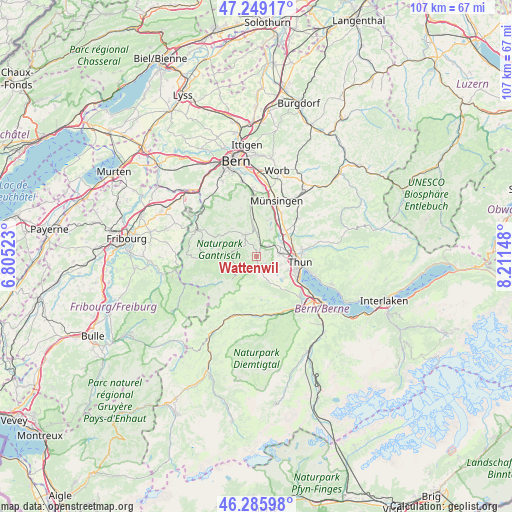
Wattenwil GPS coordinates[2]
46° 46' 11.028" North, 7° 30' 30.06" East
| Map corner | latitude | longitude |
|---|---|---|
| Upper-left | 47.24917°, | 6.80523° |
| Center: | 46.76973°, | 7.50835° |
| Lower-right: | 46.28598°, | 8.21148° |
| Map W x H: | 107.1×107.1 km | = 66.5×66.5mi |
| max Lat: | 47.76737° ⇑76% North |
| Wattenwil: | 46.76973° |
| min Lat: | ⇓24% South 45.83203° |
| min Long | Wattenwil | max Long |
| 5.97153° | 7.50835° | 10.44624° |
| W 24.8%⇐ | ⇒75.2% E |
Elevation
Elevation of Wattenwil is 598 m = 1962 ft, and this is 39.8 m = 131 ft above average elevation for this country.
| Max E: |
1845 m = 6053 ft | 27% |
| Wattenwil | 598 m 1962 ft | |
| Avg. | 558.2 m = 1831 ft | |
Min E: |
197 m = 646 ft | 73% |
See also: Switzerland elevation on elevation.city.
Geographical zone
Wattenwil is located in North temperate zone (between Tropic of Cancer and the Arctic Circle). Distance of this North polar circle is 2200.9 km =1367.6 mi to North.| Distance of | km | miles | from Wattenwil |
|---|---|---|---|
| North Pole | 4806.8 | 2986.8 | to North |
| Arctic Circle | 2200.9 | 1367.6 | to North |
| Tropic Cancer | 2594.4 | 1612.1 | to South |
| Equator | 5200.3 | 3231.3 | to South |


Nearby cities:
15 places around Wattenwil: (largest is in red/bold)
• Amsoldingen
7.3 km =4.5 mi,  129°
129°
• Blumenstein
3.2 km =2 mi,  162°
162°
• Burgistein
1.8 km =1.1 mi,  338°
338°
• Heimberg
7.8 km =4.8 mi,  69°
69°
• Hermiswil
7.2 km =4.5 mi, 341°
• Kirchdorf
6.5 km =4 mi,  28°
28°
• Mühlethurnen
4.9 km =3 mi,  0°
0°
• Riggisberg
5 km =3.1 mi,  334°
334°
• Rüeggisberg
7.9 km =4.9 mi,  317°
317°
• Rümligen
6.7 km =4.2 mi,  351°
351°
• Seftigen
3.1 km =1.9 mi,  49°
49°
• Thierachern
5.4 km =3.4 mi,  110°
110°
• Uebeschi
5.1 km =3.2 mi, 134°
• Uetendorf
4.9 km =3 mi,  84°
84°
• Uttigen
6 km =3.7 mi,  62°
62°
Sources, notices
• [Note1] Compared only with cities in Switzerland existing in our database
• [Src1] Map data: © OpenStreetMap contributors (CC-BY-SA)
• [Src2] Other city data from geonames.org with taken over terms of usage.
• [Src3] Geographical zone / Annual Mean Temperature by Robert A. Rohde @ Wikipedia
