Romanshorn geodata
Romanshorn (Thurgau) is a seat of a third-order administrative division; located in Switzerland in Europe/Zurich (GMT+2) time zone. With population of 8,956 people, there are 181 cities with bigger population in this country. Compared to other cities in Switzerland, 95.8% of cities are located further ↓South; 94.9% of cities are located further ←West and 88.4% of cities have higher elevation than Romanshorn. Note1


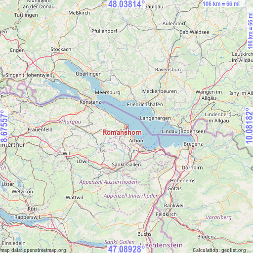
Romanshorn GPS coordinates[2]
47° 33' 57.096" North, 9° 22' 43.284" East
| Map corner | latitude | longitude |
|---|---|---|
| Upper-left | 48.03814°, | 8.67557° |
| Center: | 47.56586°, | 9.37869° |
| Lower-right: | 47.08928°, | 10.08182° |
| Map W x H: | 105.5×105.5 km | = 65.6×65.6mi |
| max Lat: | 47.76737° ⇑4.2% North |
| Romanshorn: | 47.56586° |
| min Lat: | ⇓95.8% South 45.83203° |
| min Long | Romanshorn | max Long |
| 5.97153° | 9.37869° | 10.44624° |
| W 94.9%⇐ | ⇒5.1% E |
Elevation
Elevation of Romanshorn is 401 m = 1316 ft, and this is 157.2 m = 516 ft below average elevation for this country.
| Max E: |
1845 m = 6053 ft | 88.4% |
| Avg. | 558.2 m = 1831 ft | |
| Romanshorn | 401 m = 1316 ft | |
Min E: |
197 m = 646 ft | 11.6% |
See also: Switzerland elevation on elevation.city.
Geographical zone
Romanshorn is located in North temperate zone (between Tropic of Cancer and the Arctic Circle). Distance of this North polar circle is 2112.3 km =1312.5 mi to North.| Distance of | km | miles | from Romanshorn |
|---|---|---|---|
| North Pole | 4718.2 | 2931.8 | to North |
| Arctic Circle | 2112.3 | 1312.5 | to North |
| Tropic Cancer | 2682.9 | 1667.1 | to South |
| Equator | 5288.8 | 3286.3 | to South |


Nearby cities:
15 places around Romanshorn: (largest is in red/bold)
• Altnau
10.1 km =6.3 mi,  299°
299°
• Amriswil
6.6 km =4.1 mi,  251°
251°
• Arbon
6.8 km =4.2 mi,  143°
143°
• Egnach
2.6 km =1.6 mi,  177°
177°
• Erlen
11 km =6.8 mi,  259°
259°
• Güttingen
8 km =5 mi, 301°
• Horn
10.1 km =6.3 mi, 141°
• Häggenschwil
8.3 km =5.2 mi,  197°
197°
• Kesswil
5.5 km =3.4 mi, 303°
• Langrickenbach
10.3 km =6.4 mi,  287°
287°
• Muolen
6.4 km =4 mi,  219°
219°
• Mörschwil
11.1 km =6.9 mi,  162°
162°
• Roggwil
7.5 km =4.7 mi,  170°
170°
• Salmsach
1.4 km =0.9 mi, 200°
• Uttwil
3.5 km =2.2 mi,  306°
306°
Sources, notices
• [Note1] Compared only with cities in Switzerland existing in our database
• [Src1] Map data: © OpenStreetMap contributors (CC-BY-SA)
• [Src2] Other city data from geonames.org with taken over terms of usage.
• [Src3] Geographical zone / Annual Mean Temperature by Robert A. Rohde @ Wikipedia
