Egnach geodata
Egnach (Thurgau) is a populated place; located in Switzerland in Europe/Zurich (GMT+2) time zone. With population of 4,179 people, there are 417 cities with bigger population in this country. Compared to other cities in Switzerland, 94.3% of cities are located further ↓South; 94.9% of cities are located further ←West and 86.8% of cities have higher elevation than Egnach. Note1


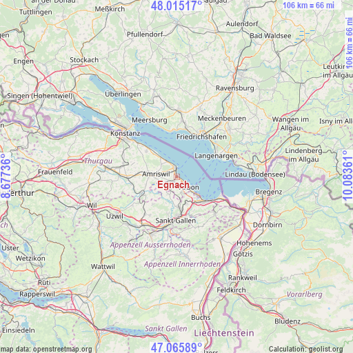
Egnach GPS coordinates[2]
47° 32' 33.648" North, 9° 22' 49.728" East
| Map corner | latitude | longitude |
|---|---|---|
| Upper-left | 48.01517°, | 8.67736° |
| Center: | 47.54268°, | 9.38048° |
| Lower-right: | 47.06589°, | 10.08361° |
| Map W x H: | 105.6×105.5 km | = 65.6×65.6mi |
| max Lat: | 47.76737° ⇑5.7% North |
| Egnach: | 47.54268° |
| min Lat: | ⇓94.3% South 45.83203° |
| min Long | Egnach | max Long |
| 5.97153° | 9.38048° | 10.44624° |
| W 94.9%⇐ | ⇒5.1% E |
Elevation
Elevation of Egnach is 405 m = 1329 ft, and this is 153.2 m = 503 ft below average elevation for this country.
| Max E: |
1845 m = 6053 ft | 86.8% |
| Avg. | 558.2 m = 1831 ft | |
| Egnach | 405 m = 1329 ft | |
Min E: |
197 m = 646 ft | 13.2% |
See also: Switzerland elevation on elevation.city.
Geographical zone
Egnach is located in North temperate zone (between Tropic of Cancer and the Arctic Circle). Distance of this North polar circle is 2114.9 km =1314.1 mi to North.| Distance of | km | miles | from Egnach |
|---|---|---|---|
| North Pole | 4720.8 | 2933.4 | to North |
| Arctic Circle | 2114.9 | 1314.1 | to North |
| Tropic Cancer | 2680.3 | 1665.5 | to South |
| Equator | 5286.3 | 3284.8 | to South |


Nearby cities:
15 places around Egnach: (largest is in red/bold)
• Amriswil
6.4 km =4 mi,  274°
274°
• Arbon
4.9 km =3 mi,  126°
126°
• Goldach
10 km =6.2 mi,  139°
139°
• Güttingen
9.7 km =6 mi,  314°
314°
• Horn
8.2 km =5.1 mi, 131°
• Häggenschwil
6 km =3.7 mi,  206°
206°
• Kesswil
7.4 km =4.6 mi,  319°
319°
• Muolen
4.8 km =3 mi,  240°
240°
• Mörschwil
8.6 km =5.3 mi,  158°
158°
• Roggwil
4.9 km =3 mi,  166°
166°
• Romanshorn
2.6 km =1.6 mi,  357°
357°
• Salmsach
1.4 km =0.9 mi,  334°
334°
• Uttwil
5.5 km =3.4 mi, 327°
• Waldkirch
10.8 km =6.7 mi,  220°
220°
• Wittenbach
9.1 km =5.7 mi,  177°
177°
Sources, notices
• [Note1] Compared only with cities in Switzerland existing in our database
• [Src1] Map data: © OpenStreetMap contributors (CC-BY-SA)
• [Src2] Other city data from geonames.org with taken over terms of usage.
• [Src3] Geographical zone / Annual Mean Temperature by Robert A. Rohde @ Wikipedia
