Estavayer-le-Lac geodata
Estavayer-le-Lac (Fribourg) is a populated place; located in Switzerland in Europe/Zurich (GMT+2) time zone. With population of 5,061 people, there are 338 cities with bigger population in this country. Compared to other cities in Switzerland, 72.1% of cities are located further ↑North; 90.6% of cities are located further →East and 61% of cities have higher elevation than Estavayer-le-Lac. Note1


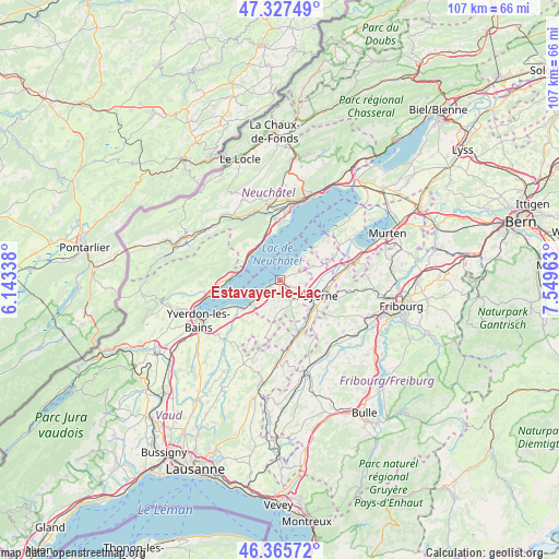
Estavayer-le-Lac GPS coordinates[2]
46° 50' 55.536" North, 6° 50' 47.4" East
| Map corner | latitude | longitude |
|---|---|---|
| Upper-left | 47.32749°, | 6.14338° |
| Center: | 46.84876°, | 6.8465° |
| Lower-right: | 46.36572°, | 7.54963° |
| Map W x H: | 106.9×106.9 km | = 66.4×66.4mi |
| max Lat: | 47.76737° ⇑72.1% North |
| Estavayer-le-Lac: | 46.84876° |
| min Lat: | ⇓27.9% South 45.83203° |
| min Long | Estavayer-le-La | max Long |
| 5.97153° | 6.8465° | 10.44624° |
| W 9.4%⇐ | ⇒90.6% E |
Elevation
Elevation of Estavayer-le-Lac is 453 m = 1486 ft, and this is 105.2 m = 345 ft below average elevation for this country.
| Max E: |
1845 m = 6053 ft | 61% |
| Avg. | 558.2 m = 1831 ft | |
| Estavayer-le-Lac | 453 m = 1486 ft | |
Min E: |
197 m = 646 ft | 39% |
See also: Switzerland elevation on elevation.city.
Geographical zone
Estavayer-le-Lac is located in North temperate zone (between Tropic of Cancer and the Arctic Circle). Distance of this North polar circle is 2192.1 km =1362.1 mi to North.| Distance of | km | miles | from Estavayer-le-Lac |
|---|---|---|---|
| North Pole | 4798 | 2981.3 | to North |
| Arctic Circle | 2192.1 | 1362.1 | to North |
| Tropic Cancer | 2603.2 | 1617.6 | to South |
| Equator | 5209.1 | 3236.8 | to South |


Nearby cities:
15 places around Estavayer-le-Lac: (largest is in red/bold)
• Bevaix
9.3 km =5.8 mi,  344°
344°
• Boudry
11.3 km =7 mi,  356°
356°
• Cheyres
5.9 km =3.7 mi,  229°
229°
• Concise
9.6 km =6 mi,  270°
270°
• Cortaillod
10.5 km =6.5 mi, 359°
• Cugy
5 km =3.1 mi,  139°
139°
• Dompierre
11 km =6.8 mi,  88°
88°
• Gletterens
8.6 km =5.3 mi,  53°
53°
• Gorgier
7.7 km =4.8 mi,  319°
319°
• Grandcour
6.7 km =4.2 mi,  67°
67°
• Granges
10.1 km =6.3 mi,  161°
161°
• Lully
1.6 km =1 mi,  183°
183°
• Payerne
7.6 km =4.7 mi,  113°
113°
• Saint-Aubin-Sauges
7.6 km =4.7 mi,  311°
311°
• Yvonand
9.6 km =6 mi,  235°
235°
Sources, notices
• [Note1] Compared only with cities in Switzerland existing in our database
• [Src1] Map data: © OpenStreetMap contributors (CC-BY-SA)
• [Src2] Other city data from geonames.org with taken over terms of usage.
• [Src3] Geographical zone / Annual Mean Temperature by Robert A. Rohde @ Wikipedia
