Bevaix geodata
Bevaix (Neuchâtel) is a populated place; located in Switzerland in Europe/Zurich (GMT+2) time zone. With population of 3,866 people, there are 460 cities with bigger population in this country. Compared to other cities in Switzerland, 67.8% of cities are located further ↑North; 91.3% of cities are located further →East and 52.7% of cities have higher elevation than Bevaix. Note1


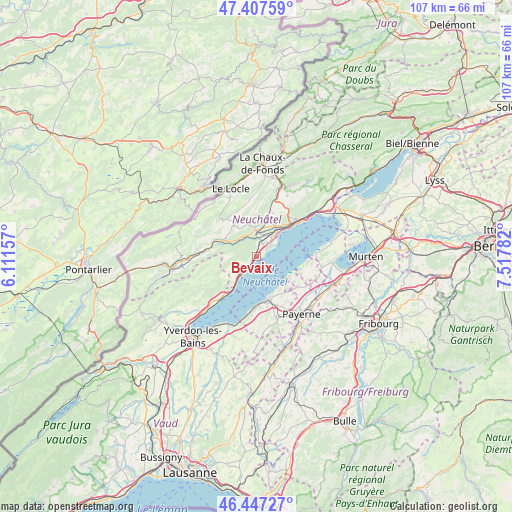
Bevaix GPS coordinates[2]
46° 55' 46.488" North, 6° 48' 52.92" East
| Map corner | latitude | longitude |
|---|---|---|
| Upper-left | 47.40759°, | 6.11157° |
| Center: | 46.92958°, | 6.8147° |
| Lower-right: | 46.44727°, | 7.51782° |
| Map W x H: | 106.8×106.8 km | = 66.4×66.4mi |
| max Lat: | 47.76737° ⇑67.8% North |
| Bevaix: | 46.92958° |
| min Lat: | ⇓32.2% South 45.83203° |
| min Long | Bevaix | max Long |
| 5.97153° | 6.8147° | 10.44624° |
| W 8.7%⇐ | ⇒91.3% E |
Elevation
Elevation of Bevaix is 472 m = 1549 ft, and this is 86.2 m = 283 ft below average elevation for this country.
| Max E: |
1845 m = 6053 ft | 52.7% |
| Avg. | 558.2 m = 1831 ft | |
| Bevaix | 472 m = 1549 ft | |
Min E: |
197 m = 646 ft | 47.3% |
See also: Switzerland elevation on elevation.city.
Geographical zone
Bevaix is located in North temperate zone (between Tropic of Cancer and the Arctic Circle). Distance of this North polar circle is 2183.1 km =1356.5 mi to North.| Distance of | km | miles | from Bevaix |
|---|---|---|---|
| North Pole | 4789 | 2975.7 | to North |
| Arctic Circle | 2183.1 | 1356.5 | to North |
| Tropic Cancer | 2612.2 | 1623.1 | to South |
| Equator | 5218.1 | 3242.4 | to South |


Nearby cities:
15 places around Bevaix: (largest is in red/bold)
• Auvernier
7.1 km =4.4 mi,  43°
43°
• Boudry
2.9 km =1.8 mi, 37°
• Cortaillod
2.7 km =1.7 mi,  56°
56°
• Estavayer-le-Lac
9.3 km =5.8 mi,  164°
164°
• Gletterens
10.1 km =6.3 mi,  112°
112°
• Gorgier
4.1 km =2.5 mi,  220°
220°
• Grandcour
10.8 km =6.7 mi,  126°
126°
• Les Geneveys-sur-Coffrane
9.9 km =6.2 mi,  16°
16°
• Les Ponts-de-Martel
9.9 km =6.2 mi,  319°
319°
• Lully
10.9 km =6.8 mi,  167°
167°
• Noiraigue
7.5 km =4.7 mi,  293°
293°
• Peseux
8.5 km =5.3 mi, 41°
• Rochefort
5.4 km =3.4 mi,  354°
354°
• Saint-Aubin-Sauges
5.1 km =3.2 mi, 219°
• Travers
10.6 km =6.6 mi,  276°
276°
Sources, notices
• [Note1] Compared only with cities in Switzerland existing in our database
• [Src1] Map data: © OpenStreetMap contributors (CC-BY-SA)
• [Src2] Other city data from geonames.org with taken over terms of usage.
• [Src3] Geographical zone / Annual Mean Temperature by Robert A. Rohde @ Wikipedia
