Barberêche geodata
Barberêche (Fribourg) is a populated place; located in Switzerland in Europe/Zurich (GMT+2) time zone. With population of 611 people, there are 1683 cities with bigger population in this country. Compared to other cities in Switzerland, 71.7% of cities are located further ↑North; 82.9% of cities are located further →East and 69.1% of cities have lower elevation than Barberêche. Note1


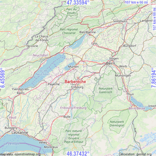
Barberêche GPS coordinates[2]
46° 51' 26.208" North, 7° 9' 31.716" East
| Map corner | latitude | longitude |
|---|---|---|
| Upper-left | 47.33594°, | 6.45569° |
| Center: | 46.85728°, | 7.15881° |
| Lower-right: | 46.37432°, | 7.86194° |
| Map W x H: | 106.9×106.9 km | = 66.4×66.4mi |
| max Lat: | 47.76737° ⇑71.7% North |
| Barberêche: | 46.85728° |
| min Lat: | ⇓28.3% South 45.83203° |
| min Long | Barberêche | max Long |
| 5.97153° | 7.15881° | 10.44624° |
| W 17.1%⇐ | ⇒82.9% E |
Elevation
Elevation of Barberêche is 568 m = 1864 ft, and this is 9.8 m = 32 ft above average elevation for this country.
| Max E: |
1845 m = 6053 ft | 30.9% |
| Barberêche | 568 m 1864 ft | |
| Avg. | 558.2 m = 1831 ft | |
Min E: |
197 m = 646 ft | 69.1% |
See also: Switzerland elevation on elevation.city.
Geographical zone
Barberêche is located in North temperate zone (between Tropic of Cancer and the Arctic Circle). Distance of this North polar circle is 2191.1 km =1361.5 mi to North.| Distance of | km | miles | from Barberêche |
|---|---|---|---|
| North Pole | 4797 | 2980.7 | to North |
| Arctic Circle | 2191.1 | 1361.5 | to North |
| Tropic Cancer | 2604.1 | 1618.1 | to South |
| Equator | 5210 | 3237.3 | to South |


Nearby cities:
15 places around Barberêche: (largest is in red/bold)
• Belfaux
5.6 km =3.5 mi,  225°
225°
• Bösingen
6.5 km =4 mi,  53°
53°
• Cordast
2.1 km =1.3 mi,  346°
346°
• Corminboeuf
6.6 km =4.1 mi,  217°
217°
• Courgevaux
6.5 km =4 mi,  327°
327°
• Düdingen
2.6 km =1.6 mi,  109°
109°
• Fribourg
6.1 km =3.8 mi,  185°
185°
• Givisiez
5.6 km =3.5 mi,  206°
206°
• Grolley
7.2 km =4.5 mi,  248°
248°
• Jeuss
5.2 km =3.2 mi,  3°
3°
• Kleinbösingen
5.4 km =3.4 mi,  40°
40°
• Liebistorf
6.4 km =4 mi,  26°
26°
• Münchenwiler
6.7 km =4.2 mi,  337°
337°
• Schmitten
7 km =4.3 mi,  89°
89°
• Tafers
6.6 km =4.1 mi,  136°
136°
Sources, notices
• [Note1] Compared only with cities in Switzerland existing in our database
• [Src1] Map data: © OpenStreetMap contributors (CC-BY-SA)
• [Src2] Other city data from geonames.org with taken over terms of usage.
• [Src3] Geographical zone / Annual Mean Temperature by Robert A. Rohde @ Wikipedia
