M’Bahiakro geodata
M’Bahiakro (Lacs) is a seat of a third-order administrative division; located in Ivory Coast in Africa/Abidjan (GMT+0) time zone. In our database, there are 63 cities with bigger population. Compared to other cities in Ivory Coast, 64.1% of cities are located further ↓South; 70.1% of cities are located further ←West and 72.6% of cities have higher elevation than M’Bahiakro. Note1


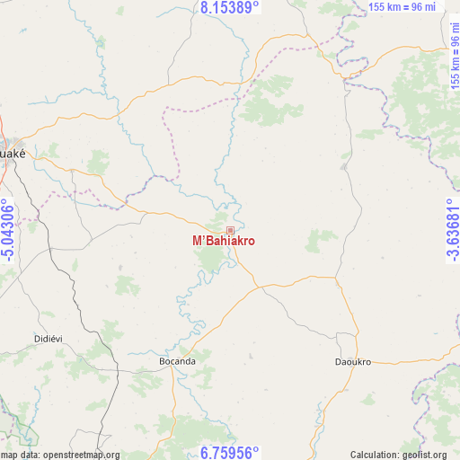
M’Bahiakro GPS coordinates[2]
7° 27' 26.208" North, 4° 20' 23.748" West
| Map corner | latitude | longitude |
|---|---|---|
| Upper-left | 8.15389°, | -5.04306° |
| Center: | 7.45728°, | -4.33993° |
| Lower-right: | 6.75956°, | -3.63681° |
| Map W x H: | 155×155 km | = 96.3×96.3mi |
| max Lat: | 10.48115° ⇑35.9% North |
| M’Bahiakro: | 7.45728° |
| min Lat: | ⇓64.1% South 4.42295° |
| min Long | M’Bahiakro | max Long |
| -8.42592° | -4.33993° | -2.80003° |
| W 70.1%⇐ | ⇒29.9% E |
Elevation
Elevation of M’Bahiakro is 127 m = 417 ft, and this is 97.3 m = 319 ft below average elevation for this country.
| Max E: |
556 m = 1824 ft | 72.6% |
| Avg. | 224.3 m = 736 ft | |
| M’Bahiakro | 127 m = 417 ft | |
Min E: |
7 m = 23 ft | 27.4% |
See also: Ivory Coast elevation on elevation.city.
Geographical zone
M’Bahiakro is located in North Torrid zone (between Equator and Tropic of Cancer). Distance of Equator is 829.2 km =515.2 mi to South.| Distance of | km | miles | from M’Bahiakro |
|---|---|---|---|
| North Pole | 9177.9 | 5702.9 | to North |
| Arctic Circle | 6572 | 4083.7 | to North |
| Tropic Cancer | 1776.7 | 1104 | to North |
| Equator | 829.2 | 515.2 | to South |


Nearby cities:
15 places around M’Bahiakro: (largest is in red/bold)
• Arrah
96.3 km =59.8 mi,  154°
154°
• Bocanda
47.3 km =29.4 mi,  201°
201°
• Bongouanou
90.8 km =56.4 mi,  170°
170°
• Bouaké
80.5 km =50 mi,  289°
289°
• Dabakala
101.2 km =62.9 mi,  354°
354°
• Daoukro
60.7 km =37.7 mi,  136°
136°
• Didiévi
71.6 km =44.5 mi,  239°
239°
• Dimbokro
98.7 km =61.3 mi, 204°
• Katiola
112.9 km =70.2 mi,  312°
312°
• Kouassi-Kouassikro
39.3 km =24.4 mi,  250°
250°
• M’Batto
109.6 km =68.1 mi,  181°
181°
• Prikro
43.4 km =27 mi,  60°
60°
• Sakassou
105 km =65.2 mi,  269°
269°
• Sandégué
100.3 km =62.3 mi, 56°
• Tiébissou
103.1 km =64.1 mi, 251°
Sources, notices
• [Note1] Compared only with cities in Ivory Coast existing in our database
• [Src1] Map data: © OpenStreetMap contributors (CC-BY-SA)
• [Src2] Other city data from geonames.org with taken over terms of usage.
• [Src3] Geographical zone / Annual Mean Temperature by Robert A. Rohde @ Wikipedia
