Bulnes geodata
Bulnes (Ñuble) is a seat of a second-order administrative division; located in Chile in America/Santiago (GMT-4) time zone. With population of 12,715 people, there are 105 cities with bigger population in this country. Compared to other cities in Chile, 55.9% of cities are located further ↑North; 59.3% of cities are located further →East and 60.7% of cities have higher elevation than Bulnes. Note1


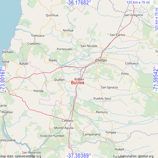
Bulnes GPS coordinates[2]
36° 44' 32.352" South, 72° 17' 54.744" West
| Map corner | latitude | longitude |
|---|---|---|
| Upper-left | -36.17682°, | -73.00167° |
| Center: | -36.74232°, | -72.29854° |
| Lower-right: | -37.30369°, | -71.59542° |
| Map W x H: | 125.3×125.3 km | = 77.9×77.9mi |
| max Lat: | -18.19821° ⇑55.9% North |
| Bulnes: | -36.74232° |
| min Lat: | ⇓44.1% South -54.93355° |
| min Long | Bulnes | max Long |
| -109.42438° | -72.29854° | -67.60963° |
| W 40.7%⇐ | ⇒59.3% E |
Elevation
Elevation of Bulnes is 96 m = 315 ft, and this is 177 m = 581 ft below average elevation for this country.
| Max E: |
3544 m = 11627 ft | 60.7% |
| Avg. | 273 m = 896 ft | |
| Bulnes | 96 m = 315 ft | |
Min E: |
1 m = 3 ft | 39.3% |
See also: Chile elevation on elevation.city.
Geographical zone
Bulnes is located in South temperate zone (between Tropic of Capricorn and the Antarctic Circle). Distance of this Southern Tropic circle is 1479.4 km =919.3 mi to North.| Distance of | km | miles | from Bulnes |
|---|---|---|---|
| Equator | 4085.4 | 2538.5 | to North |
| Tropic Capricorn | 1479.4 | 919.3 | to North |
| Antarctic Circle | 3315.8 | 2060.3 | to South |
| South Pole | 5921.7 | 3679.6 | to South |


Nearby cities:
15 places around Bulnes: (largest is in red/bold)
• Cabrero
33.8 km =21 mi,  196°
196°
• Chiguayante
68.1 km =42.3 mi,  252°
252°
• Chillán
23 km =14.3 mi,  49°
49°
• Coihueco
43.6 km =27.1 mi,  73°
73°
• Concepción
67.6 km =42 mi,  261°
261°
• Coronel
81.6 km =50.7 mi, 246°
• Laja
70.5 km =43.8 mi,  211°
211°
• Los Ángeles
81 km =50.3 mi,  183°
183°
• Parral
78.9 km =49 mi,  32°
32°
• Penco
62.1 km =38.6 mi,  270°
270°
• Quirihue
55.8 km =34.7 mi,  337°
337°
• San Carlos
46.6 km =29 mi,  40°
40°
• Talcahuano
72.9 km =45.3 mi, 271°
• Tomé
60.2 km =37.4 mi,  283°
283°
• Yumbel
45.9 km =28.5 mi, 210°
Sources, notices
• [Note1] Compared only with cities in Chile existing in our database
• [Src1] Map data: © OpenStreetMap contributors (CC-BY-SA)
• [Src2] Other city data from geonames.org with taken over terms of usage.
• [Src3] Geographical zone / Annual Mean Temperature by Robert A. Rohde @ Wikipedia
