San Carlos geodata
San Carlos (Ñuble) is a seat of a second-order administrative division; located in Chile in America/Santiago (GMT-4) time zone. With population of 31,517 people, there are 53 cities with bigger population in this country. Compared to other cities in Chile, 51.7% of cities are located further ↑North; 55.2% of cities are located further →East and 58.6% of cities have lower elevation than San Carlos. Note1


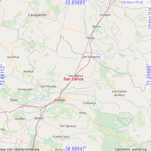
San Carlos GPS coordinates[2]
36° 25' 29.172" South, 71° 57' 28.8" West
| Map corner | latitude | longitude |
|---|---|---|
| Upper-left | -35.85695°, | -72.66113° |
| Center: | -36.42477°, | -71.958° |
| Lower-right: | -36.98847°, | -71.25488° |
| Map W x H: | 125.8×125.8 km | = 78.2×78.2mi |
| max Lat: | -18.19821° ⇑51.7% North |
| San Carlos: | -36.42477° |
| min Lat: | ⇓48.3% South -54.93355° |
| min Long | San Carlos | max Long |
| -109.42438° | -71.958° | -67.60963° |
| W 44.8%⇐ | ⇒55.2% E |
Elevation
Elevation of San Carlos is 186 m = 610 ft, and this is 87 m = 285 ft below average elevation for this country.
| Max E: |
3544 m = 11627 ft | 41.4% |
| Avg. | 273 m = 896 ft | |
| San Carlos | 186 m = 610 ft | |
Min E: |
1 m = 3 ft | 58.6% |
See also: Chile elevation on elevation.city.
Geographical zone
San Carlos is located in South temperate zone (between Tropic of Capricorn and the Antarctic Circle). Distance of this Southern Tropic circle is 1444.1 km =897.3 mi to North.| Distance of | km | miles | from San Carlos |
|---|---|---|---|
| Equator | 4050.1 | 2516.6 | to North |
| Tropic Capricorn | 1444.1 | 897.3 | to North |
| Antarctic Circle | 3351.1 | 2082.3 | to South |
| South Pole | 5957 | 3701.5 | to South |


Nearby cities:
15 places around San Carlos: (largest is in red/bold)
• Bulnes
46.6 km =29 mi,  220°
220°
• Cabrero
78.6 km =48.8 mi,  210°
210°
• Cauquenes
60.5 km =37.6 mi,  327°
327°
• Chillán
24 km =14.9 mi, 212°
• Coihueco
25.3 km =15.7 mi,  153°
153°
• Colbún
95.1 km =59.1 mi,  31°
31°
• Concepción
107.2 km =66.6 mi,  245°
245°
• Linares
72.1 km =44.8 mi, 27°
• Longaví
56.7 km =35.2 mi, 25°
• Parral
33.5 km =20.8 mi,  20°
20°
• Penco
99.1 km =61.6 mi, 249°
• Quirihue
54.6 km =33.9 mi,  287°
287°
• San Javier
94.5 km =58.7 mi,  12°
12°
• Tomé
91.7 km =57 mi,  256°
256°
• Yumbel
92.1 km =57.2 mi, 215°
Sources, notices
• [Note1] Compared only with cities in Chile existing in our database
• [Src1] Map data: © OpenStreetMap contributors (CC-BY-SA)
• [Src2] Other city data from geonames.org with taken over terms of usage.
• [Src3] Geographical zone / Annual Mean Temperature by Robert A. Rohde @ Wikipedia
