Nyinma geodata
Nyinma (Gansu) is a seat of a third-order administrative division; located in China in Asia/Shanghai (GMT+8) time zone. In our database, there are 1268 cities with bigger population. Compared to other cities in China, 70.1% of cities are located further ↓South; 92.8% of cities are located further →East and 97.8% of cities have lower elevation than Nyinma. Note1


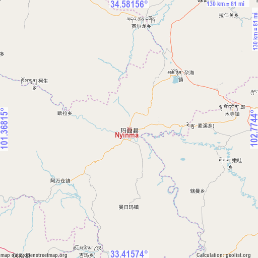
Nyinma GPS coordinates[2]
34° 0' 2.34" North, 102° 4' 16.572" East
| Map corner | latitude | longitude |
|---|---|---|
| Upper-left | 34.58156°, | 101.36815° |
| Center: | 34.00065°, | 102.07127° |
| Lower-right: | 33.41574°, | 102.7744° |
| Map W x H: | 129.6×129.6 km | = 80.5×80.5mi |
| max Lat: | 53.31946° ⇑29.9% North |
| Nyinma: | 34.00065° |
| min Lat: | ⇓70.1% South 18.22056° |
| min Long | Nyinma | max Long |
| 75.07348° | 102.07127° | 134.28917° |
| W 7.2%⇐ | ⇒92.8% E |
Elevation
Elevation of Nyinma is 3480 m = 11417 ft, and this is 2995.2 m = 9827 ft above average elevation for this country.
| Max E: |
5622 m = 18445 ft | 2.2% |
| Nyinma | 3480 m 11417 ft | |
| Avg. | 484.8 m = 1591 ft | |
Min E: |
-3 m = -10 ft | 97.8% |
See also: China elevation on elevation.city.
Geographical zone
Nyinma is located in North temperate zone (between Tropic of Cancer and the Arctic Circle). Distance of this Northern Tropic circle is 1174.6 km =729.9 mi to South.| Distance of | km | miles | from Nyinma |
|---|---|---|---|
| North Pole | 6226.5 | 3869 | to North |
| Arctic Circle | 3620.7 | 2249.8 | to North |
| Tropic Cancer | 1174.6 | 729.9 | to South |
| Equator | 3780.5 | 2349.1 | to South |


Nearby cities:
15 places around Nyinma: (largest is in red/bold)
• Awancang
43 km =26.7 mi,  233°
233°
• Cairima
73.9 km =45.9 mi,  173°
173°
• Duosong
78.1 km =48.5 mi,  297°
297°
• Kesheng
53 km =32.9 mi, 295°
• Maima
40 km =24.9 mi,  180°
180°
• Muxihe
80.9 km =50.3 mi,  250°
250°
• Ningmute
94.5 km =58.7 mi,  314°
314°
• Oula
33.3 km =20.7 mi,  284°
284°
• Oula Xiuma
91.6 km =56.9 mi,  287°
287°
• Qihama
69.3 km =43.1 mi,  186°
186°
• Qiujima
72.8 km =45.2 mi,  214°
214°
• Sai’erlong Xiang
54.3 km =33.7 mi,  6°
6°
• Tuoyema
83 km =51.6 mi,  323°
323°
• Youganning
92 km =57.2 mi,  332°
332°
• Zhiqing Songduo
86.4 km =53.7 mi,  223°
223°
Sources, notices
• [Note1] Compared only with cities in China existing in our database
• [Src1] Map data: © OpenStreetMap contributors (CC-BY-SA)
• [Src2] Other city data from geonames.org with taken over terms of usage.
• [Src3] Geographical zone / Annual Mean Temperature by Robert A. Rohde @ Wikipedia
