Awancang geodata
Awancang (Gansu) is a seat of a fourth-order administrative division; located in China in Asia/Shanghai (GMT+8) time zone. In our database, there are 1268 cities with bigger population. Compared to other cities in China, 69.1% of cities are located further ↓South; 93.2% of cities are located further →East and 97.8% of cities have lower elevation than Awancang. Note1


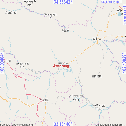
Awancang GPS coordinates[2]
33° 46' 15.348" North, 101° 41' 49.776" East
| Map corner | latitude | longitude |
|---|---|---|
| Upper-left | 34.35342°, | 100.99404° |
| Center: | 33.77093°, | 101.69716° |
| Lower-right: | 33.18446°, | 102.40029° |
| Map W x H: | 130×130 km | = 80.8×80.8mi |
| max Lat: | 53.31946° ⇑30.9% North |
| Awancang: | 33.77093° |
| min Lat: | ⇓69.1% South 18.22056° |
| min Long | Awancang | max Long |
| 75.07348° | 101.69716° | 134.28917° |
| W 6.8%⇐ | ⇒93.2% E |
Elevation
Elevation of Awancang is 3504 m = 11496 ft, and this is 3019.2 m = 9906 ft above average elevation for this country.
| Max E: |
5622 m = 18445 ft | 2.2% |
| Awancang | 3504 m 11496 ft | |
| Avg. | 484.8 m = 1591 ft | |
Min E: |
-3 m = -10 ft | 97.8% |
See also: China elevation on elevation.city.
Geographical zone
Awancang is located in North temperate zone (between Tropic of Cancer and the Arctic Circle). Distance of this Northern Tropic circle is 1149.1 km =714 mi to South.| Distance of | km | miles | from Awancang |
|---|---|---|---|
| North Pole | 6252.1 | 3884.9 | to North |
| Arctic Circle | 3646.2 | 2265.6 | to North |
| Tropic Cancer | 1149.1 | 714 | to South |
| Equator | 3755 | 2333.2 | to South |


Nearby cities:
15 places around Awancang: (largest is in red/bold)
• Cairima
64.2 km =39.9 mi,  138°
138°
• Duosong
71.2 km =44.2 mi,  330°
330°
• Gemo
86.1 km =53.5 mi,  185°
185°
• Jia’erduo
85 km =52.8 mi, 187°
• Kesheng
50.5 km =31.4 mi,  344°
344°
• Maima
37.3 km =23.2 mi,  112°
112°
• Mintang
61.4 km =38.2 mi,  273°
273°
• Muxihe
41.8 km =26 mi, 267°
• Nyinma
43 km =26.7 mi,  53°
53°
• Oula
34.1 km =21.2 mi,  3°
3°
• Oula Xiuma
74.7 km =46.4 mi,  314°
314°
• Qihama
50.9 km =31.6 mi,  148°
148°
• Qiujima
35.2 km =21.9 mi, 190°
• Suohurima
75.9 km =47.2 mi,  249°
249°
• Zhiqing Songduo
44.8 km =27.8 mi,  213°
213°
Sources, notices
• [Note1] Compared only with cities in China existing in our database
• [Src1] Map data: © OpenStreetMap contributors (CC-BY-SA)
• [Src2] Other city data from geonames.org with taken over terms of usage.
• [Src3] Geographical zone / Annual Mean Temperature by Robert A. Rohde @ Wikipedia
