Anyang geodata
Anyang (Henan) is a seat of a second-order administrative division; located in China in Asia/Shanghai (GMT+8) time zone. With population of 781,129 people, there are 76 cities with bigger population in this country. Compared to other cities in China, 77.4% of cities are located further ↓South; 50.9% of cities are located further ←West and 65.6% of cities have higher elevation than Anyang. Note1


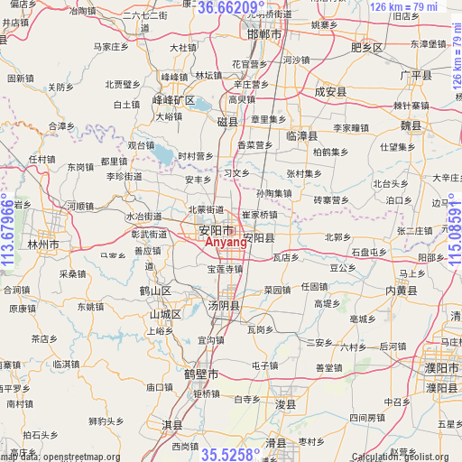
Anyang GPS coordinates[2]
36° 5' 45.6" North, 114° 22' 58.008" East
| Map corner | latitude | longitude |
|---|---|---|
| Upper-left | 36.66209°, | 113.67966° |
| Center: | 36.096°, | 114.38278° |
| Lower-right: | 35.5258°, | 115.08591° |
| Map W x H: | 126.3×126.3 km | = 78.5×78.5mi |
| max Lat: | 53.31946° ⇑22.6% North |
| Anyang: | 36.096° |
| min Lat: | ⇓77.4% South 18.22056° |
| min Long | Anyang | max Long |
| 75.07348° | 114.38278° | 134.28917° |
| W 50.9%⇐ | ⇒49.1% E |
Elevation
Elevation of Anyang is 70 m = 230 ft, and this is 414.8 m = 1361 ft below average elevation for this country.
| Max E: |
5622 m = 18445 ft | 65.6% |
| Avg. | 484.8 m = 1591 ft | |
| Anyang | 70 m = 230 ft | |
Min E: |
-3 m = -10 ft | 34.4% |
See also: Anyang elevation on elevation.city.
Geographical zone
Anyang is located in North temperate zone (between Tropic of Cancer and the Arctic Circle). Distance of this Northern Tropic circle is 1407.6 km =874.6 mi to South.| Distance of | km | miles | from Anyang |
|---|---|---|---|
| North Pole | 5993.6 | 3724.2 | to North |
| Arctic Circle | 3387.7 | 2105 | to North |
| Tropic Cancer | 1407.6 | 874.6 | to South |
| Equator | 4013.5 | 2493.9 | to South |


Nearby cities:
15 places around Anyang: (largest is in red/bold)
• Chaoge
57.3 km =35.6 mi,  197°
197°
• Daokou
60.2 km =37.4 mi,  169°
169°
• Handan
56.6 km =35.2 mi,  7°
7°
• Hebi
27.8 km =17.3 mi,  218°
218°
• Hecun
54.4 km =33.8 mi,  333°
333°
• Kaiyuan
50.5 km =31.4 mi,  266°
266°
• Linshui
39.9 km =24.8 mi,  336°
336°
• Neihuang Chengguanzhen
49.4 km =30.7 mi,  109°
109°
• Pengcheng
41.9 km =26 mi, 332°
• Puyang
68.1 km =42.3 mi,  122°
122°
• Qingfeng Chengguanzhen
68.4 km =42.5 mi, 108°
• Tangyang Chengguanzhen
20.3 km =12.6 mi,  187°
187°
• Xun Xian Chengguanzhen
49.9 km =31 mi,  164°
164°
• Yigou
32.2 km =20 mi, 190°
• Zhongyuanlu
71.1 km =44.2 mi, 120°
Sources, notices
• [Note1] Compared only with cities in China existing in our database
• [Src1] Map data: © OpenStreetMap contributors (CC-BY-SA)
• [Src2] Other city data from geonames.org with taken over terms of usage.
• [Src3] Geographical zone / Annual Mean Temperature by Robert A. Rohde @ Wikipedia
